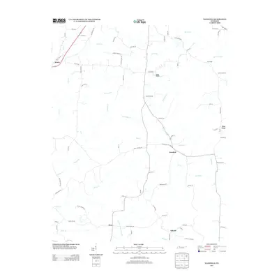
2013 Map of Mansfield
USGS Topo · Published 2013About this map
The community of Mansfield serves as a central point in this rural landscape of Henry County, where small settlements are connected by a network of local roads and winding waterways. To the northwest, Routon sits along the Old Mckenzie Hwy, while the southern reaches of the map feature Mixie and Ephesus. The drainage patterns are defined by the West Sandy Creek and the Crooked Cr Drainage Canal, illustrating a landscape managed for agricultural use. Local history is etched into the road names, with routes like Bunn School Rd and Harmon Cemetery Rd pointing toward the former locations of vanished community pillars. Other small locales such as Van Dyke and New Hope further characterize the dispersed settlement pattern of this West Tennessee region.
Find a feature on this map
77 named features on this map. Tap any name to fly to it.
Don’t see what you’re looking for? This feature index may not catch every label — zoom into the map to look around manually.
Map Details
Editions of this 2013 Mansfield Map
This is the sole edition of this map. No revisions or reprints were ever made.
Other maps of this area

1936 · Mansfield
USGS Topo · 1:24,000

1936 · Vale
USGS Topo · 1:24,000

1936 · Bruceton
USGS Topo · 1:24,000

1936 · Manleyville
USGS Topo · 1:24,000

1936 · Paris
USGS Topo · 1:24,000

1936 · Springville
USGS Topo · 1:24,000

1938 · Springville
USGS Topo · 1:24,000

1940 · Manleyville
USGS Topo · 1:24,000

1941 · Manleyville
USGS Topo · 1:24,000

1950 · Osage
USGS Topo · 1:24,000