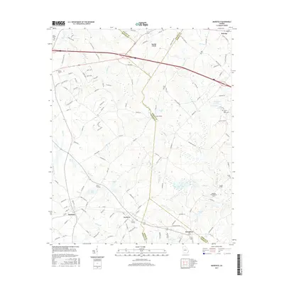
2017 Map of Mansfield
USGS Topo · Published 2017About this map
Social Circle and Mansfield serve as the primary hubs in this part of Georgia, where the borderlines of Walton, Newton, Morgan, and Jasper Counties converge. The landscape is defined by the winding course of the Little River and numerous tributaries like Shoal Cr and Tanyard Br. Local history is preserved in several family and community burial grounds, including the Perry Family Cem and the Newborn City Cem located near the town of Newborn.
Find a feature on this map
127 named features on this map. Tap any name to fly to it.
Don’t see what you’re looking for? This feature index may not catch every label — zoom into the map to look around manually.
Map Details
Editions of this 2017 Mansfield Map
This is the sole edition of this map. No revisions or reprints were ever made.
Other maps of this area

1896 · Monroe
USGS Topo · 1:125,000

1953 · Athens
USGS Topo · 1:250,000

1958 · Athens
USGS Topo · 1:250,000

1959 · Athens
USGS Topo · 1:250,000

1963 · Athens
USGS Topo · 1:250,000
1964 · Stewart
USGS Topo · 1:24,000
1964 · Covington
USGS Topo · 1:24,000
1964 · Jersey
USGS Topo · 1:24,000
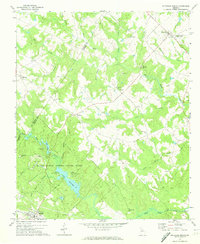
1971 · Rutledge North
USGS Topo · 1:24,000
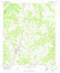
1971 · Social Circle
USGS Topo · 1:24,000