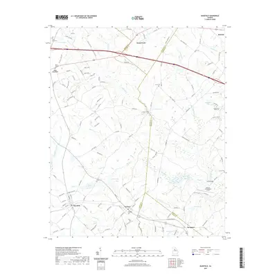
2020 Map of Mansfield
USGS Topo · Published 2020About this map
Social Circle and Mansfield anchor this survey of the Georgia Piedmont, where a dense network of county roads and creek systems defines the rural landscape. The area is marked by numerous family and community landmarks, including the Greater Moses Baptist Cem and several smaller burial grounds like Hargis Springs Cem and the Davis Cem. Waterways such as the Little River and Shoal Creek meander through the terrain, bridged at points like Cooper Bridge and Durden Bridge.
Find a feature on this map
132 named features on this map. Tap any name to fly to it.
Don’t see what you’re looking for? This feature index may not catch every label — zoom into the map to look around manually.
Map Details
Editions of this 2020 Mansfield Map
This is the sole edition of this map. No revisions or reprints were ever made.
Other maps of this area

1896 · Monroe
USGS Topo · 1:125,000

1953 · Athens
USGS Topo · 1:250,000

1958 · Athens
USGS Topo · 1:250,000

1959 · Athens
USGS Topo · 1:250,000

1963 · Athens
USGS Topo · 1:250,000
1964 · Stewart
USGS Topo · 1:24,000
1964 · Covington
USGS Topo · 1:24,000
1964 · Jersey
USGS Topo · 1:24,000
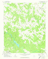
1971 · Rutledge North
USGS Topo · 1:24,000
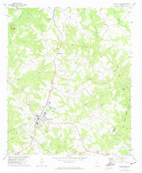
1971 · Social Circle
USGS Topo · 1:24,000