
1951 Map of Mansfield NW
USGS Topo · Published 1953About this map
The Woods Fork Gasconade River and the main channel of the Gasconade River dominate this Ozark landscape, where early 1950s rural life is documented through a dense network of country schools and churches. This survey captures a specific period of consolidation in Missouri education, marking numerous defunct institutions such as Mountain View Sch (Abandoned), Oak Ridge Sch (Abandoned), and School No 5 (Abandoned). The settlement pattern follows the high ground and river valleys, with small hubs like Jericho and Waldo providing local structure. In the southern portion of the quadrangle, the St Louis San Francisco railroad cuts through Pleasant Valley, passing near Lone Star Ch. The map provides significant genealogical value, locating family-named landmarks and several burying grounds including Newton Cem and the Bethel Ch Cem.
Find a feature on this map
33 named features on this map. Tap any name to fly to it.
Don’t see what you’re looking for? This feature index may not catch every label — zoom into the map to look around manually.
Map Details
Editions of this 1951 Mansfield NW Map
This is the sole edition of this map. No revisions or reprints were ever made.
Other maps of this area

1939 · Fordland
USGS Topo · 1:62,500

1942 · Fordland
USGS Topo · 1:62,500

1946 · Niangua
USGS Topo · 1:62,500

1948 · Niangua
USGS Topo · 1:62,500

1951 · Mansfield NE
USGS Topo · 1:24,000
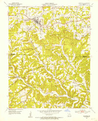
1951 · Mansfield
USGS Topo · 1:24,000
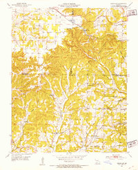
1951 · Cedar Gap
USGS Topo · 1:24,000

1954 · Springfield
USGS Topo · 1:250,000

1956 · Duncan
USGS Topo · 1:24,000
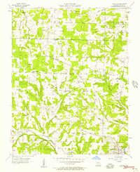
1956 · Hartville
USGS Topo · 1:24,000