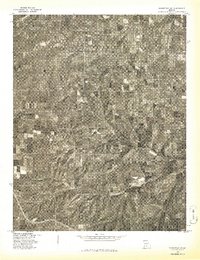
1977 Map of Mansfield NW
USGS Topo · Published 1977About this map
Gasconade River headwaters wind through this Missouri landscape, captured in a 1977 orthophotoquad that reveals the intricate patterns of Ozark land use. The imagery highlights the contrast between the wooded, dissected hills and the cleared agricultural plots that define the region's rural character. Near the center of the sheet, the small settlement of Jericho serves as a local focal point amidst a network of country roads and section lines. Produced in cooperation with the Soil Conservation Service, this aerial survey provides a clear view of the timbered ridges and valley bottomlands before modern development, offering researchers a literal look at the terrain as it appeared in the late 1970s.
Find a feature on this map
2 named features on this map. Tap any name to fly to it.
Don’t see what you’re looking for? This feature index may not catch every label — zoom into the map to look around manually.
Map Details
Editions of this 1977 Mansfield NW Map
This is the sole edition of this map. No revisions or reprints were ever made.
Other maps of this area

1939 · Fordland
USGS Topo · 1:62,500

1942 · Fordland
USGS Topo · 1:62,500

1946 · Niangua
USGS Topo · 1:62,500

1948 · Niangua
USGS Topo · 1:62,500

1951 · Mansfield NE
USGS Topo · 1:24,000

1951 · Mansfield NW
USGS Topo · 1:24,000
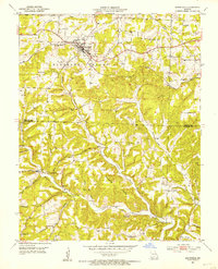
1951 · Mansfield
USGS Topo · 1:24,000
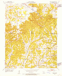
1951 · Cedar Gap
USGS Topo · 1:24,000

1954 · Springfield
USGS Topo · 1:250,000

1956 · Duncan
USGS Topo · 1:24,000