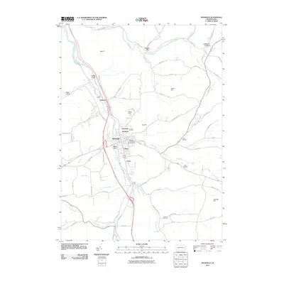
2010 Map of Mansfield
USGS Topo · Published 2010About this map
The Mansfield University of Pennsylvania serves as the institutional heart of this Tioga County region, situated where the Tioga River meets the confluence of several mountain-fed streams. The valley floor is defined by a north-south transportation corridor that connects a string of settlements including Kellytown, River West, and Canoe Camp. This 2010 survey illustrates the developed footprint of Mansfield alongside traditional rural landmarks, such as Oakwood Cemetery and Clark Cemetery, which provide valuable location data for genealogists and local historians. Steep terrain rising from the riverbanks is marked by family-named landmarks like Austin Hill and Pickle Hill. Beyond the central college area, the landscape transitions into a network of creek-side roads and smaller localities like Lambs Creek and Paisley, while the Corey Creek Golf Course and several smaller runs like Mad Run and Painter Run pattern the outlying countryside.
Find a feature on this map
78 named features on this map. Tap any name to fly to it.
Don’t see what you’re looking for? This feature index may not catch every label — zoom into the map to look around manually.
Map Details
Editions of this 2010 Mansfield Map
This is the sole edition of this map. No revisions or reprints were ever made.
Other maps of this area

1900 · Tioga
USGS Topo · 1:62,500

1902 · Tioga
USGS Topo · 1:62,500

1925 · Blossburg
USGS Topo · 1:62,500

1927 · Blossburg
USGS Topo · 1:62,500

1931 · Troy
USGS Topo · 1:48,000

1938 · Troy
USGS Topo · 1:62,500

1942 · Canton
USGS Topo · 1:62,500

1944 · Blossburg
USGS Topo · 1:62,500

1944 · Canton
USGS Topo · 1:62,500

1953 · Roseville
USGS Topo · 1:24,000