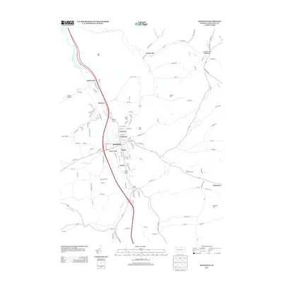
2013 Map of Mansfield
USGS Topo · Published 2013About this map
The Tioga River corridor serves as the primary artery for this region of Pennsylvania, where the borough of Mansfield is divided into distinct neighborhood zones like Northeast, Northwest, and River West. The presence of the College at the center of the borough indicates the town's role as a regional educational hub, while the surrounding landscape is defined by its valley and ridge topography. Beyond the main settlement, the map reveals a network of smaller communities and geographic landmarks such as Kellytown, Canoe Camp, and Paisley. Local hills, including Pickle Hill and Big Hill, overlook the winding paths of Corey Cr and Lambs Cr. This 2013 survey provides a contemporary view of the intersection between established town life and the rural highlands of the county.
Find a feature on this map
128 named features on this map. Tap any name to fly to it.
Don’t see what you’re looking for? This feature index may not catch every label — zoom into the map to look around manually.
Map Details
Editions of this 2013 Mansfield Map
This is the sole edition of this map. No revisions or reprints were ever made.
Other maps of this area

1900 · Tioga
USGS Topo · 1:62,500

1902 · Tioga
USGS Topo · 1:62,500

1925 · Blossburg
USGS Topo · 1:62,500

1927 · Blossburg
USGS Topo · 1:62,500

1931 · Troy
USGS Topo · 1:48,000

1938 · Troy
USGS Topo · 1:62,500

1942 · Canton
USGS Topo · 1:62,500

1944 · Blossburg
USGS Topo · 1:62,500

1944 · Canton
USGS Topo · 1:62,500

1953 · Roseville
USGS Topo · 1:24,000