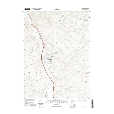
2016 Map of Mansfield
USGS Topo · Published 2016About this map
The Tioga River bisects this Tioga County landscape, carving a wide valley through the plateau as it flows north toward the New York border. At the center of the survey lies Mansfield, a prominent borough defined by the campus of the Univ of Pennsylvania and a traditional grid of streets such as N Main St and Sullivan St. The town's historical footprint is well-documented through its numerous burial grounds, including Prospect Cem and Oakwood Cem on the northern edge, while smaller outlying settlements like Kellytown and Lambs Creek provide a look at the residential patterns along the river valley.
Find a feature on this map
90 named features on this map. Tap any name to fly to it.
Don’t see what you’re looking for? This feature index may not catch every label — zoom into the map to look around manually.
Map Details
Editions of this 2016 Mansfield Map
This is the sole edition of this map. No revisions or reprints were ever made.
Other maps of this area

1900 · Tioga
USGS Topo · 1:62,500

1902 · Tioga
USGS Topo · 1:62,500

1925 · Blossburg
USGS Topo · 1:62,500

1927 · Blossburg
USGS Topo · 1:62,500

1931 · Troy
USGS Topo · 1:48,000

1938 · Troy
USGS Topo · 1:62,500

1942 · Canton
USGS Topo · 1:62,500

1944 · Blossburg
USGS Topo · 1:62,500

1944 · Canton
USGS Topo · 1:62,500

1953 · Roseville
USGS Topo · 1:24,000