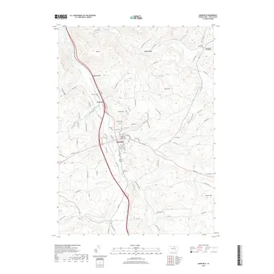
2019 Map of Mansfield
USGS Topo · Published 2019About this map
Mansfield sits at the confluence of the Tioga River and Corey Cr, serving as a central hub in Tioga County. This modern survey shows the university town’s layout, anchored by the Mansfield University of Pennsylvania and the commercial corridors of Us Rte 6. The surrounding landscape is defined by significant elevations like Pickle Hill and Oak Hill, which constrain the valley settlements of Kellytown and Lambs Creek to the north. For genealogists and local historians, the map is particularly dense with burial sites, documenting family and community resting places such as Oakwood Cem, Prospect Cem, and the more remote Whittaker Cem. The drainage patterns of Canoe Camp Cr and Mill Creek illustrate the geographical factors that directed the area's development and road networks like Mill Creek Rd.
Find a feature on this map
117 named features on this map. Tap any name to fly to it.
Don’t see what you’re looking for? This feature index may not catch every label — zoom into the map to look around manually.
Map Details
Editions of this 2019 Mansfield Map
This is the sole edition of this map. No revisions or reprints were ever made.
Other maps of this area

1900 · Tioga
USGS Topo · 1:62,500

1902 · Tioga
USGS Topo · 1:62,500

1925 · Blossburg
USGS Topo · 1:62,500

1927 · Blossburg
USGS Topo · 1:62,500

1931 · Troy
USGS Topo · 1:48,000

1938 · Troy
USGS Topo · 1:62,500

1942 · Canton
USGS Topo · 1:62,500

1944 · Blossburg
USGS Topo · 1:62,500

1944 · Canton
USGS Topo · 1:62,500

1953 · Roseville
USGS Topo · 1:24,000