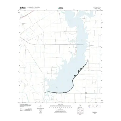
2010 Map of Manson
USGS Topo · Published 2010About this map
The Navidad River and Mustang Creek dominate this Jackson County landscape, converging in a complex waterway system that defines the local geography. Near the northern reach lies the small settlement of Manson, while further south, the Texana Oil Field indicates the region's industrial ties to energy production. The area is marked by several historical burial sites, including the Brackenridge Cemetery overlooking the river and the Red Bluff Cemetery near the community of Red Bluff. A network of local roads such as Brackenridge Pkwy and Red Bluff Rd connects these points of interest. Aviation history is also present through private facilities like the Kubecka Flying Service Incorporated Airport and Hahns Airport, which reflect the area's agricultural and utility aviation needs.
Find a feature on this map
38 named features on this map. Tap any name to fly to it.
Don’t see what you’re looking for? This feature index may not catch every label — zoom into the map to look around manually.
Map Details
Editions of this 2010 Manson Map
This is the sole edition of this map. No revisions or reprints were ever made.
Other maps of this area

1952 · Francitas NW
USGS Topo · 1:24,000

1952 · Manson
USGS Topo · 1:24,000

1952 · Edna
USGS Topo · 1:24,000

1952 · La Salle
USGS Topo · 1:24,000

1952 · La Ward
USGS Topo · 1:24,000

1952 · Lolita
USGS Topo · 1:24,000

1953 · Beeville
USGS Topo · 1:250,000

1953 · Seguin
USGS Topo · 1:250,000

1956 · Beeville
USGS Topo · 1:250,000

1958 · Seguin
USGS Topo · 1:250,000