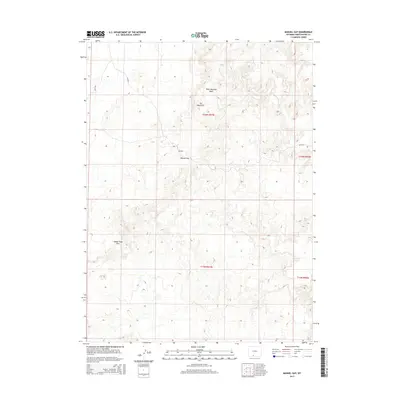
2015 Map of Manuel Gap
USGS Topo · Published 2015About this map
Manuel Gap serves as a prominent natural passage through the high-desert terrain of Sweetwater County in this 2015 survey. The landscape is defined by the significant topographic rise of the Adobe Town Rim to the southwest and the distinct formations of The Haystacks near the center of the quadrangle. This area of Wyoming is sparsely settled, with the map recording a network of Bureau of Land Management roads, such as Blm-4411, which provide the primary access through the desert. Drainage patterns are dominated by seasonal watercourses like West Haystack Wash and Sand Cr, which illustrate the arid environment's relationship with occasional heavy runoff. The map highlights the intersection of several townships, including t16n r97w and t15n r96w, providing essential data for land use and resource management in this expansive open country.
Find a feature on this map
10 named features on this map. Tap any name to fly to it.
Don’t see what you’re looking for? This feature index may not catch every label — zoom into the map to look around manually.
Map Details
Editions of this 2015 Manuel Gap Map
This is the sole edition of this map. No revisions or reprints were ever made.
Other maps of this area

1954 · Rock Springs
USGS Topo · 1:250,000

1958 · Rock Springs
USGS Topo · 1:250,000

1962 · Rock Springs
USGS Topo · 1:250,000

1970 · Cow Creek Reservoir
USGS Topo · 1:24,000

1970 · Prehistoric Rim
USGS Topo · 1:24,000
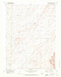
1970 · Kinney Spring
USGS Topo · 1:24,000

1970 · Manuel Gap
USGS Topo · 1:24,000
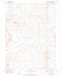
1970 · Barrel Springs SW
USGS Topo · 1:24,000
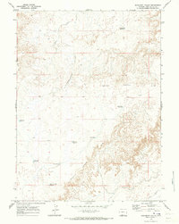
1970 · Monument Valley
USGS Topo · 1:24,000

1970 · Fort La Clede NE
USGS Topo · 1:24,000