1968 Map of Many Farms
USGS Topo · Published 1972About this map
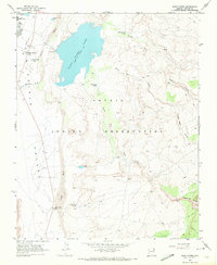
Many Farms serves as a focal point of infrastructure and education in this late-1960s landscape, dominated by the expansive Many Farms Lake. The map reveals a structured settlement pattern centered on the Many Farms Boarding School and the nearby Trading Post, illustrating the community's role as a regional hub. Water management is a primary theme, with the Chinle Wash cutting through the terrain and the presence of several Sewage Disposal Ponds indicating modern utility development. The network of wells and the established pool elevation of the reservoir highlight the significance of water resources for the boarding school and the surrounding community during this era of growth in Apache County.
Find a feature on this map
10 named features on this map. Tap any name to fly to it.
Don’t see what you’re looking for? This feature index may not catch every label — zoom into the map to look around manually.
Map Details
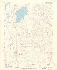
Editions of this 1968 Many Farms Map
2 editions found
Other maps of this area

1892 · Canyon De Chelly
USGS Topo · 1:250,000

1954 · Shiprock
USGS Topo · 1:250,000
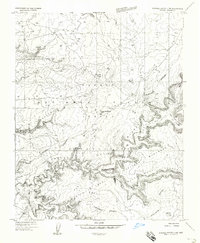
1955 · Chinle 4 NE
USGS Topo · 1:24,000
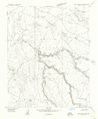
1955 · Sonsala Butte 2 SW
USGS Topo · 1:24,000
1955 · Sonsala Butte 2 NW
USGS Topo · 1:24,000
1955 · Sonsala Butte 3 NW
USGS Topo · 1:24,000
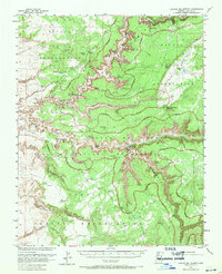
1955 · Canyon Del Muerto
USGS Topo · 1:62,500
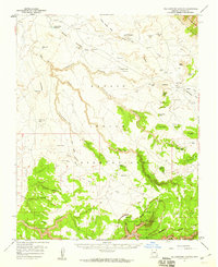
1955 · Yellowstone Canyon
USGS Topo · 1:62,500

1958 · Shiprock
USGS Topo · 1:250,000

1959 · Shiprock
USGS Topo · 1:250,000
Featured Places
- Chinle Agency, AZ
- Tʼiisyáázh Łání, Chinle Agency
- Many Farms, Chinle Agency
- Apache County, AZ
- United States