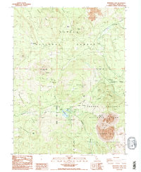
1985 Map of Manzanita Lake
USGS Topo · Published 1985About this map
Lassen Volcanic National Park is defined by a dynamic volcanic landscape where the geologic past meets mid-1980s recreational infrastructure. The map centers on the striking Chaos Jumbles and the jagged heights of the Chaos Crags, products of ancient landslides and volcanic domes. This era of the park's history is captured through the presence of the Visitor Center, Entrance Station, and several developed campsites like Manzanita Lake Campground and Crags Campground.
Find a feature on this map
35 named features on this map. Tap any name to fly to it.
Don’t see what you’re looking for? This feature index may not catch every label — zoom into the map to look around manually.
Map Details
Editions of this 1985 Manzanita Lake Map
2 editions found
Other maps of this area

1886 · Lassen Peak
USGS Topo · 1:250,000

1892 · Lassen Peak
USGS Topo · 1:250,000

1894 · Lassen Peak
USGS Topo · 1:250,000

1935 · Burney
USGS Topo · 1:96,000

1935 · Paynes Creek
USGS Topo · 1:96,000

1939 · Burney
USGS Topo · 1:125,000

1939 · Halls Flat
USGS Topo · 1:125,000

1941 · Mineral
USGS Topo · 1:125,000

1955 · Westwood
USGS Topo · 1:250,000

1956 · Lassen Peak
USGS Topo · 1:62,500