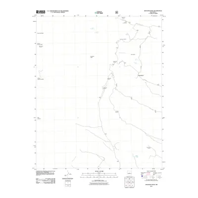
2011 Map of Manzano Peak
USGS Topo · Published 2011About this map
Manzano Peak dominates this high-elevation landscape within the Manzano Mountains during the early 21st century. The map details an intricate network of forest access roads and specialized trailheads, such as the Kayser Mill Trailhead and Monte Largo Trailhead, which serve as gateways to the steep canyons and ridges. Water management in this arid environment is evident through a series of springs and livestock-supporting infrastructure, including the Five Mile Windmill and Red Canyon Windmill.
Find a feature on this map
28 named features on this map. Tap any name to fly to it.
Don’t see what you’re looking for? This feature index may not catch every label — zoom into the map to look around manually.
Map Details
Editions of this 2011 Manzano Peak Map
This is the sole edition of this map. No revisions or reprints were ever made.
Other maps of this area

1916 · La Joya
USGS Topo · 1:125,000

1917 · Estancia
USGS Topo · 1:125,000

1952 · Tome SE
USGS Topo · 1:24,000

1952 · Tome NE
USGS Topo · 1:24,000

1952 · Becker
USGS Topo · 1:24,000

1954 · Capilla Peak
USGS Topo · 1:24,000

1954 · Torreon
USGS Topo · 1:24,000

1954 · Torreon
USGS Topo · 1:62,500

1954 · Socorro
USGS Topo · 1:250,000

1958 · Socorro
USGS Topo · 1:250,000