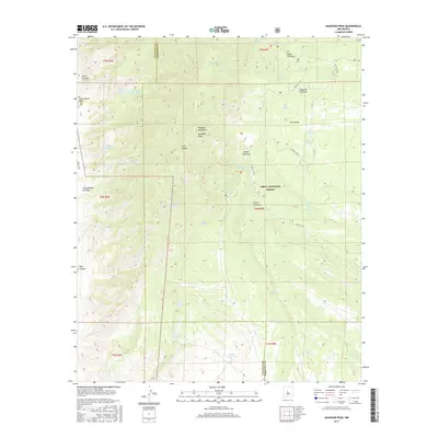
2017 Map of Manzano Peak
USGS Topo · Published 2017About this map
Manzano Peak serves as a prominent landmark within the Manzano Mountains, marking the divide between the high desert terrain of the Cibola National Forest and the lower canyons. This area of New Mexico is defined by a critical network of springs, such as Ojo Barreras, Cienigita Spring, and Wild Cow Spring, which have long supported the livestock and transit needs of the region. The map highlights the intersection of natural topography and land management, following the border between Valencia and Torrance Counties.
Find a feature on this map
47 named features on this map. Tap any name to fly to it.
Don’t see what you’re looking for? This feature index may not catch every label — zoom into the map to look around manually.
Map Details
Editions of this 2017 Manzano Peak Map
This is the sole edition of this map. No revisions or reprints were ever made.
Other maps of this area

1916 · La Joya
USGS Topo · 1:125,000

1917 · Estancia
USGS Topo · 1:125,000

1952 · Tome SE
USGS Topo · 1:24,000

1952 · Tome NE
USGS Topo · 1:24,000

1952 · Becker
USGS Topo · 1:24,000

1954 · Capilla Peak
USGS Topo · 1:24,000

1954 · Torreon
USGS Topo · 1:24,000

1954 · Torreon
USGS Topo · 1:62,500

1954 · Socorro
USGS Topo · 1:250,000

1958 · Socorro
USGS Topo · 1:250,000