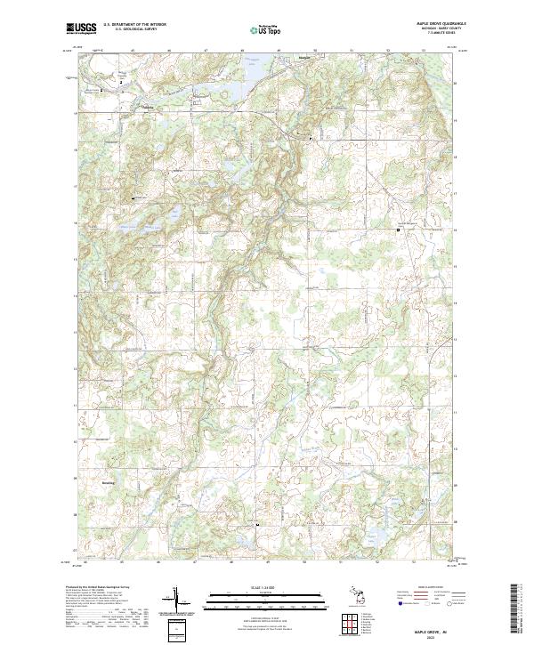
2023 Map of Maple Grove
USGS Topo · Published 2023About this map
The Thornapple River snakes across the northern edge of this Barry County landscape, feeding into Thornapple Lake near the settlement of Quimby. This contemporary survey illustrates a landscape defined by glacial kettle lakes and marshlands, with a dense network of country roads connecting small rural hubs like Morgan and Dowling. The map is particularly valuable for genealogical research, documenting several local burial grounds including the Hastings Township Cem and the Barry County Poor Farm Cem.
Find a feature on this map
68 named features on this map. Tap any name to fly to it.
Don’t see what you’re looking for? This feature index may not catch every label — zoom into the map to look around manually.
Map Details
Editions of this 2023 Maple Grove Map
This is the sole edition of this map. No revisions or reprints were ever made.
Other maps of this area

1918 · Battle Creek
USGS Topo · 1:62,500

1918 · Galesburg
USGS Topo · 1:62,500

1943 · Battle Creek
USGS Topo · 1:62,500

1944 · Galesburg
USGS Topo · 1:62,500

1947 · Banfield
USGS Topo · 1:24,000

1947 · Bellevue
USGS Topo · 1:24,000

1947 · Bedford
USGS Topo · 1:24,000

1947 · Galesburg
USGS Topo · 1:62,500

1950 · Galesburg
USGS Topo · 1:62,500

1950 · Battle Creek
USGS Topo · 1:62,500
Featured Places
- Baltimore Township, MI
- Johnstown Township, MI
- Hastings Township, MI
- Castleton Township, MI
- Maple Grove Township, MI