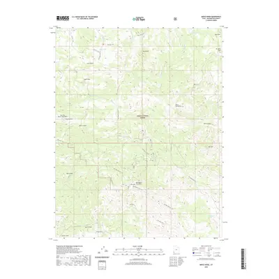
2020 Map of Maple Ridge
USGS Topo · Published 2020About this map
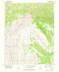
The Bull Valley Mountains dominate this southwestern Utah landscape, where high-elevation ridgelines and deep canyons define the western portion of the Dixie National Forest. This modern 2020 survey illustrates a region shaped by complex geology and drainage patterns, including the notable white outcrops of White Rocks and the distinctive formation known as The Pinnacles. Seasonal water sources such as Ox Valley Lake and several springs, including Quail Spring and Doc Watson Spring, support the area's ecology. A network of high-clearance routes like the Veyo Shoal Creek Rd and specialized paths such as the Bull Valley Mtn Atv Trail provide access through the varying elevations of Cove Mtn and Maple Ridge, connecting the high summits to the drainages of East Fork Beaver Dam Wash.
Find a feature on this map
32 named features on this map. Tap any name to fly to it.
Don’t see what you’re looking for? This feature index may not catch every label — zoom into the map to look around manually.
Map Details
Editions of this 2020 Maple Ridge Map
This is the sole edition of this map. No revisions or reprints were ever made.
Other maps of this area

1885 · St. George
USGS Topo · 1:250,000

1891 · St. George
USGS Topo · 1:250,000

1953 · Cedar City
USGS Topo · 1:250,000

1954 · Gunlock
USGS Topo · 1:24,000

1958 · Cedar City
USGS Topo · 1:250,000

1962 · Cedar City
USGS Topo · 1:250,000
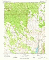
1972 · Gunlock
USGS Topo · 1:24,000
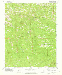
1972 · Goldstrike
USGS Topo · 1:24,000
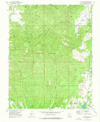
1972 · Central West
USGS Topo · 1:24,000
1972 · Motoqua
USGS Topo · 1:24,000