
1949 Map of Maple Valley
USGS Topo · Published 1956About this map
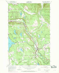
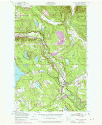
Cedar River industry and rural King County settlement patterns define this mid-century landscape. The map captures the area as the coal-mining era was transitioning toward residential growth, notably featuring the Indian Coal Mine (Abandoned) and Fire King Coal Mine (Abandoned) near Cedar Mountain. These resource extraction sites are situated along the Pacific Coast RR, which parallels the river through Cedar Grove.
Find a feature on this map
36 named features on this map. Tap any name to fly to it.
Don’t see what you’re looking for? This feature index may not catch every label — zoom into the map to look around manually.
Map Details
Editions of this 1949 Maple Valley Map
Other maps of this area

1895 · Snohomish
USGS Topo · 1:125,000

1897 · Tacoma
USGS Topo · 1:125,000

1897 · Seattle
USGS Topo · 1:125,000

1900 · Tacoma
USGS Topo · 1:125,000

1913 · Cedar Lake
USGS Topo · 1:125,000

1921 · Sultan
USGS Topo · 1:125,000

1923 · Sultan
USGS Topo · 1:125,000

1949 · Black Diamond
USGS Topo · 1:24,000

1949 · Renton
USGS Topo · 1:24,000

1949 · Auburn
USGS Topo · 1:24,000