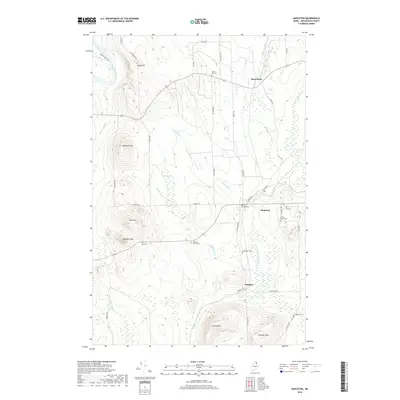
2018 Map of Mapleton
USGS Topo · Published 2018About this map
Mapleton and the neighboring townships of Castle Hill and Chapman characterize this northern Maine landscape, where agricultural clearings meet the dense hydrology of the North Woods. The region is defined by the winding course of the Aroostook River and numerous tributaries like Libby Brook and N Br Presque Isle Stream. Local heritage is deeply rooted in several family-named landmarks and resting places, including the Braley Family Cem, Tarr Cem, and Hoffses Family Cem. Elevated terrain such as Pyle Mtn and Haystack Mtn rises above the lowlands of Dudley Swamp, illustrating the varied topography that shaped early settlement patterns. This modern record maintains the legacy of small communities such as State Road, detailing the rural road network from Siding Rd to the more remote Richardson Rd.
Find a feature on this map
46 named features on this map. Tap any name to fly to it.
Don’t see what you’re looking for? This feature index may not catch every label — zoom into the map to look around manually.
Map Details
Editions of this 2018 Mapleton Map
This is the sole edition of this map. No revisions or reprints were ever made.
Other maps of this area

1929 · Portage
USGS Topo · 1:62,500

1929 · Caribou
USGS Topo · 1:48,000

1931 · Ashland
USGS Topo · 1:48,000

1931 · Portage
USGS Topo · 1:62,500

1932 · Caribou
USGS Topo · 1:62,500

1934 · Ashland
USGS Topo · 1:62,500

1935 · Presque Isle
USGS Topo · 1:62,500

1953 · Ashland
USGS Topo · 1:62,500

1953 · Portage
USGS Topo · 1:62,500

1953 · Presque Isle
USGS Topo · 1:62,500