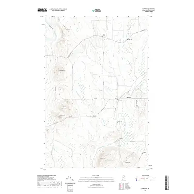
2021 Map of Mapleton
USGS Topo · Published 2021About this map
Mapleton and the neighboring settlements of Castle Hill and Chapman are situated within a landscape defined by the North Branch of the Presque Isle Stream and several prominent peaks. For genealogists and local historians, this survey is particularly valuable for its documentation of family burial sites, including the Hoffeses Family Cem and the Braley Family Cem. The terrain rises significantly at landmarks like Haystack Mtn and Pyle Mtn, while the lowlands are characterized by extensive wetlands such as Dudley Swamp. The orientation of the local road network, including Frenchville Rd and State Road, reflects the area's ongoing connection to the agricultural and forestry traditions of Aroostook County, linking these isolated hilltop communities with the watercourses that once drove early industry at sites like the Old Mill Cem.
Find a feature on this map
49 named features on this map. Tap any name to fly to it.
Don’t see what you’re looking for? This feature index may not catch every label — zoom into the map to look around manually.
Map Details
Editions of this 2021 Mapleton Map
This is the sole edition of this map. No revisions or reprints were ever made.
Other maps of this area

1929 · Portage
USGS Topo · 1:62,500

1929 · Caribou
USGS Topo · 1:48,000

1931 · Ashland
USGS Topo · 1:48,000

1931 · Portage
USGS Topo · 1:62,500

1932 · Caribou
USGS Topo · 1:62,500

1934 · Ashland
USGS Topo · 1:62,500

1935 · Presque Isle
USGS Topo · 1:62,500

1953 · Ashland
USGS Topo · 1:62,500

1953 · Portage
USGS Topo · 1:62,500

1953 · Presque Isle
USGS Topo · 1:62,500