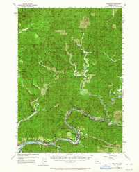
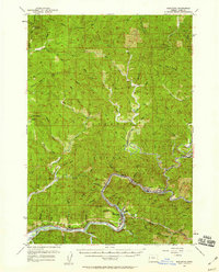
1957 Map of Mapleton
USGS Topo · Published 1965About this map
The Siuslaw River winds through the heart of the Siuslaw National Forest, serving as the primary corridor for both the Southern Pacific railroad and the Siuslaw Highway. This 1950s survey captures the logging and river-dependent economy of western Lane County, centered on the settlement of Mapleton. Smaller communities like Swisshome, Tide, and Nekoma are positioned along the riverbank, while the presence of the Beck Sta (Tiernan PO) and the Deadwood Cem provide essential data for genealogical research in this timber-rich region.
Find a feature on this map
68 named features on this map. Tap any name to fly to it.
Don’t see what you’re looking for? This feature index may not catch every label — zoom into the map to look around manually.
Map Details
Editions of this 1957 Mapleton Map
2 editions found
Other maps of this area

1918 · Mapleton
USGS Topo · 1:48,000

1919 · Earl
USGS Topo · 1:48,000

1920 · Siltcoos Lake
USGS Topo · 1:62,500

1920 · Heceta Head
USGS Topo · 1:62,500

1922 · Waldport
USGS Topo · 1:62,500

1940 · Mapleton
USGS Topo · 1:62,500

1941 · Blachly
USGS Topo · 1:62,500

1941 · Siltcoos Lake
USGS Topo · 1:62,500

1942 · Alsea
USGS Topo · 1:62,500

1942 · Blachly
USGS Topo · 1:62,500