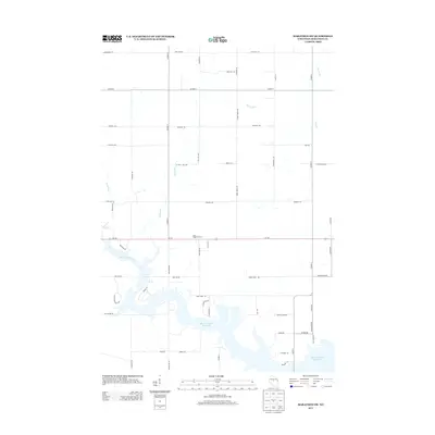
2013 Map of Marathon SW
USGS Topo · Published 2013About this map
The Big Eau Pleine Reservoir dominates the southern landscape of this Marathon County region, illustrating the significant impact of local water management on the Wisconsin terrain. Fed by the Big Eau Pleine River, this large body of water creates an intricate shoreline that contrasts with the systematic grid of rural roads to the north. Near the center of the sheet, Rock Ridge Orchard sits along Wi-153, serving as a notable local landmark amidst a patchwork of agricultural lands and woodlots. The drainage network is further defined by smaller tributaries like Rocky Run and Fenwood Cr, which carve gentle paths through the countryside. These geographic features, combined with family-named routes such as Still Hill Rd and Schnelle Rd, provide a detailed look at the rural infrastructure and land use in the township of Wien during the early 21st century.
Find a feature on this map
56 named features on this map. Tap any name to fly to it.
Don’t see what you’re looking for? This feature index may not catch every label — zoom into the map to look around manually.
Map Details
Editions of this 2013 Marathon SW Map
This is the sole edition of this map. No revisions or reprints were ever made.
Other maps of this area

1902 · Marathon
USGS Topo · 1:125,000

1953 · Marathon
USGS Topo · 1:48,000

1953 · Stratford
USGS Topo · 1:48,000

1953 · Eau Claire
USGS Topo · 1:250,000

1954 · Marshfield
USGS Topo · 1:62,500

1955 · Green Bay
USGS Topo · 1:250,000

1956 · Milladore
USGS Topo · 1:48,000

1958 · Eau Claire
USGS Topo · 1:250,000

1963 · Marathon
USGS Topo · 1:62,500

1963 · Stratford
USGS Topo · 1:62,500