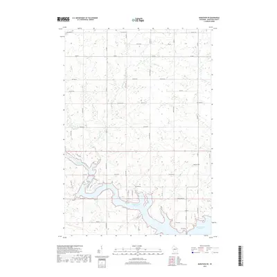
2018 Map of Marathon SW
USGS Topo · Published 2018About this map
The Big Eau Pleine Reservoir dominates the southern landscape of this 2018 survey, its expansive waters fed by the Big Eau Pleine River. This Marathon County terrain is defined by a dense grid of rural corridors and family-named roads such as Hoffman Rd and Still Hill Rd, reflecting a well-established pattern of Wisconsin dairy land and agriculture. Small tributaries like Rocky Run, Fenwood Cr, and Burns Cr cut through the sections, while Maguire Field serves as a distinct aviation landmark in the southeastern quadrant. The map detail highlights the persistent sectional layout typical of the Midwest, where local routes like Sugar Bush Rd and Blackberry St navigate the drainage basins and wetlands surrounding the reservoir's fingers.
Find a feature on this map
55 named features on this map. Tap any name to fly to it.
Don’t see what you’re looking for? This feature index may not catch every label — zoom into the map to look around manually.
Map Details
Editions of this 2018 Marathon SW Map
This is the sole edition of this map. No revisions or reprints were ever made.
Other maps of this area

1902 · Marathon
USGS Topo · 1:125,000

1953 · Marathon
USGS Topo · 1:48,000

1953 · Stratford
USGS Topo · 1:48,000

1953 · Eau Claire
USGS Topo · 1:250,000

1954 · Marshfield
USGS Topo · 1:62,500

1955 · Green Bay
USGS Topo · 1:250,000

1956 · Milladore
USGS Topo · 1:48,000

1958 · Eau Claire
USGS Topo · 1:250,000

1963 · Marathon
USGS Topo · 1:62,500

1963 · Stratford
USGS Topo · 1:62,500