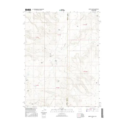
2017 Map of Marble Canyon
USGS Topo · Published 2017About this map
Marble Canyon and the high-altitude terrain of Piñon Mesa dominate this 2017 survey of the borderlands between Mesa County, Colorado, and Grand County, Utah. The landscape is defined by a dense network of erosional features, where seasonal watercourses like Coates Cr and Renegade Cr have carved deep into the plateau. The presence of Horseshoe Spring and various named canyons, including Star Canyon and Triangle Canyon, suggests a terrain where water sources were critical markers for early travelers and ranching operations. Navigating the higher elevations reveals landmarks such as Flatiron Hill and Fish Park, while the southern reaches of the quadrangle descend toward Red Gap. This modern topographic study provides an exact look at the drainage patterns and relief that have dictated land use in this arid region for generations, from the depths of Kings Canyon to the remote stretch of the Dol Tria DS RD.
Find a feature on this map
31 named features on this map. Tap any name to fly to it.
Don’t see what you’re looking for? This feature index may not catch every label — zoom into the map to look around manually.
Map Details
Editions of this 2017 Marble Canyon Map
This is the sole edition of this map. No revisions or reprints were ever made.
Other maps of this area

1885 · East Tavaputs
USGS Topo · 1:250,000

1885 · La Sal
USGS Topo · 1:250,000

1954 · Westwater 4 SW
USGS Topo · 1:24,000

1954 · Mt. Waas 1 SW
USGS Topo · 1:24,000

1954 · Mt. Waas 1 NE
USGS Topo · 1:24,000

1954 · Mt. Waas 1 NW
USGS Topo · 1:24,000

1954 · Mt. Waas 1 SE
USGS Topo · 1:24,000

1954 · Coates Creek
USGS Topo · 1:62,500

1956 · Westwater 4 SE
USGS Topo · 1:24,000

1956 · Moab
USGS Topo · 1:250,000