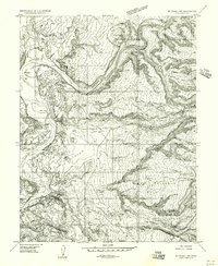
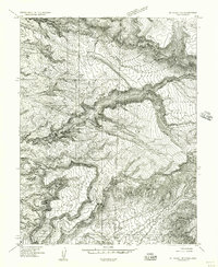
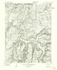
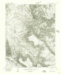
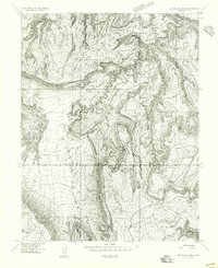
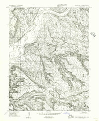
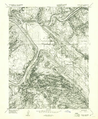
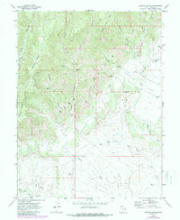
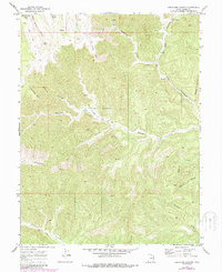
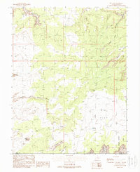
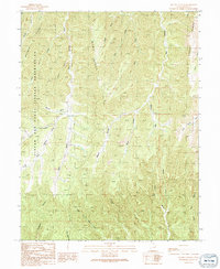
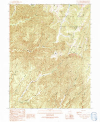
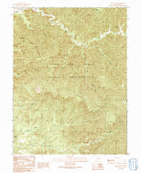
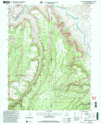
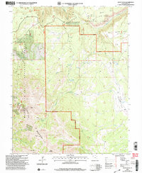
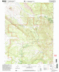
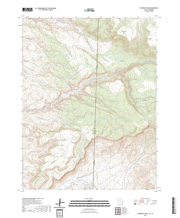
1985 Map of Marble Canyon
USGS Topo · Published 1986About this map
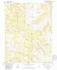
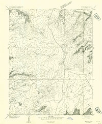
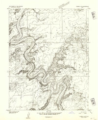
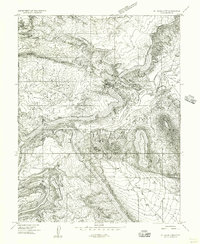
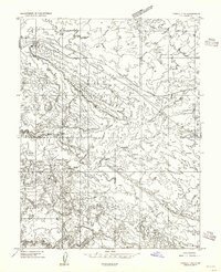
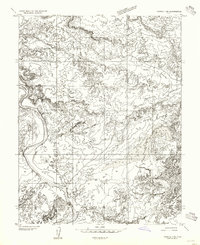
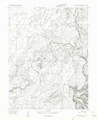
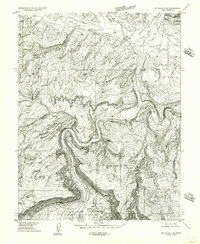
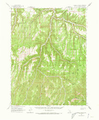
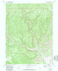
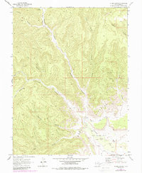
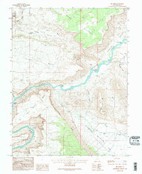
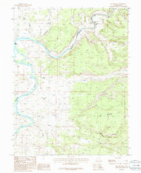
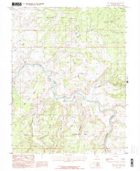
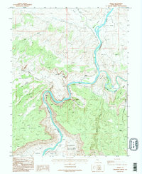
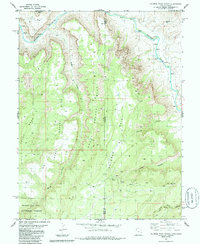
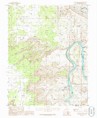
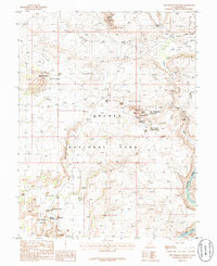
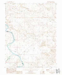
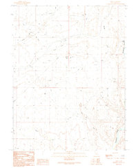
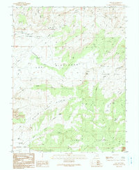
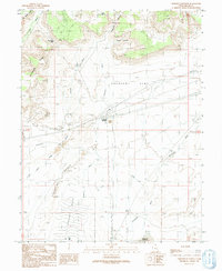
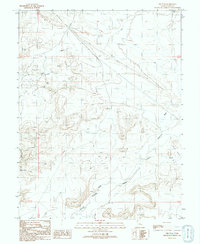
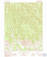
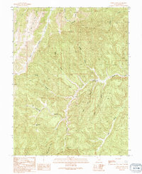
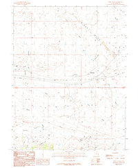
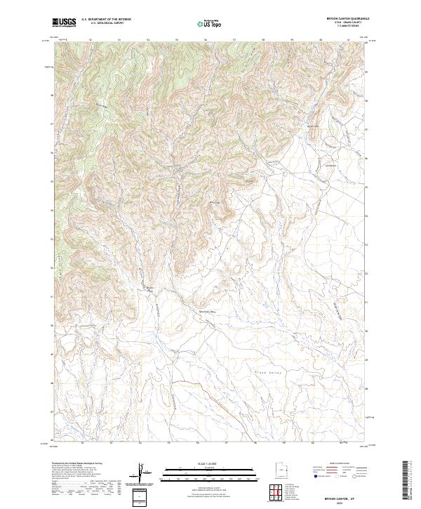
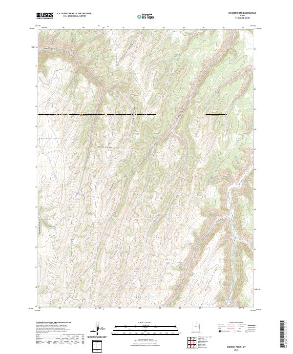
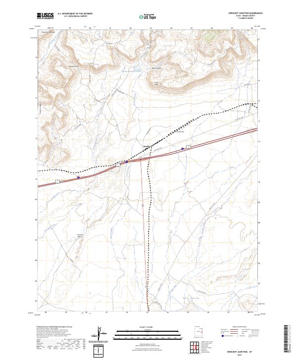
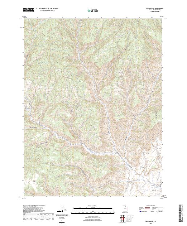
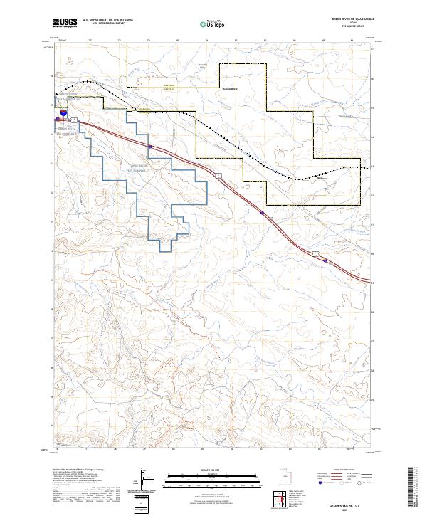
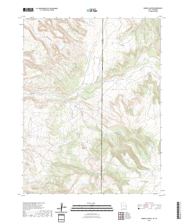
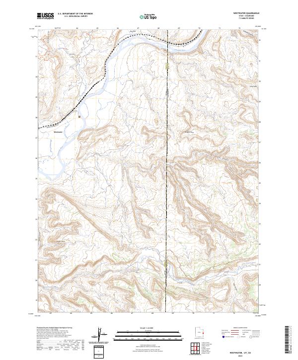
Picture Gallery Ranch and Spring Creek Ranch sit within a high-elevation landscape defined by the drainage systems of the Book Cliffs region. This mid-1980s topography documents the intersection of remote ranching outposts and aviation infrastructure, with several Landing Strips and a primary Landing Strip supporting access to these isolated properties. The terrain is marked by deep incisions like Marble Canyon and Star Canyon, which carry seasonal runoff toward the state line. In the southern portion of the map, Renegade Creek and Cow Creek wind through the complex topography near Red Gap. The cartography also captures the boundary where Grand County and Mesa County meet the Utah-Colorado border, illustrating the transition from the high flats of Fish Park to the sloping benches of Piñon Mesa.
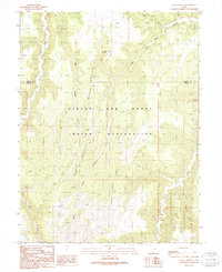
Find a feature on this map
27 named features on this map. Tap any name to fly to it.
Don’t see what you’re looking for? This feature index may not catch every label — zoom into the map to look around manually.
Map Details
Editions of this 1985 Marble Canyon Map
This is the sole edition of this map. No revisions or reprints were ever made.
Historical Maps of Mesa County Through Time
178 maps found
1951 The Knoll
Grand County, UT
1952 Moab 3 NE
Grand County, UT
1952 Moab 3 NW
Grand County, UT
1952 Moab 3 SE
Grand County, UT
1952 Moab 3 SW
Grand County, UT
1952 Moab 4 NW
Grand County, UT
1952 Moab 4 SW
Grand County, UT
1952 Tidwell 4 NE
Grand County, UT
1954 Coates Creek
Grand County, UT
1954 Mt Peale 1 NE
Grand County, UT
1954 Mt. Waas 1 NE
Grand County, UT
1954 Mt. Waas 1 NW
Grand County, UT
1954 Mt. Waas 1 SE
Grand County, UT
1954 Mt. Waas 1 SW
Grand County, UT
1954 Mt. Waas 3 NE
Grand County, UT
1954 Mt. Waas 3 NW
Grand County, UT
1954 Mt. Waas 3 SE
Grand County, UT
1954 Mt. Waas 3 SW
Grand County, UT
1954 Mt. Waas 4 NE
Grand County, UT
1954 Mt. Waas 4 NW
Grand County, UT
1954 Mt. Waas 4 SE
Grand County, UT
1954 Mt. Waas 4 SW
Grand County, UT
1954 Polar Mesa
Grand County, UT
1954 Tidwell 1 NE
Grand County, UT
1954 Tidwell 1 SE
Grand County, UT
1954 Westwater 4 SW
Grand County, UT
1955 Mt. Waas 2 SE
Grand County, UT
1956 Westwater 4 SE
Grand County, UT

1958 Cisco
Grand County, UT
1958 Crescent Junction
Grand County, UT
1958 Thompson
Grand County, UT
1959 Moab 4 NE
Grand County, UT
1959 Moab 4 SE
Grand County, UT
1963 Floy Canyon
Grand County, UT
1963 Moonwater Point
Grand County, UT
1963 Sego Canyon
Grand County, UT
1963 Tenmile Canyon
Grand County, UT
1970 Antone Canyon
Grand County, UT
1970 Bar X Wash
Grand County, UT
1970 Bitter Creek Well
Grand County, UT
1970 Bryson Canyon
Grand County, UT
1970 Cedar Camp Canyon
Grand County, UT
1970 Cisco Springs
Grand County, UT
1970 Danish Flat
Grand County, UT
1970 Dry Canyon
Grand County, UT
1970 Flume Canyon
Grand County, UT
1970 Harley Dome
Grand County, UT
1970 Jim Canyon
Grand County, UT
1970 Preacher Canyon
Grand County, UT

1970 P R Spring
Grand County, UT
1970 San Arroyo Ridge
Grand County, UT
1980 Westwater
Grand County, UT
1985 Agate
Grand County, UT
1985 Big Bend
Grand County, UT
1985 Big Triangle
Grand County, UT
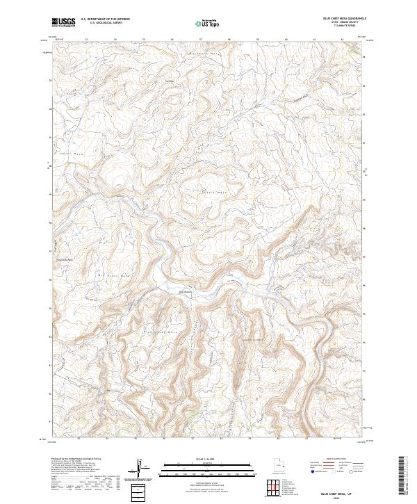
1985 Blue Chief Mesa
Grand County, UT
1985 Dewey
Grand County, UT
1985 Dolores Point North
Grand County, UT
1985 Dolores Point South
Grand County, UT
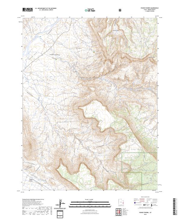
1985 Fisher Towers
Grand County, UT
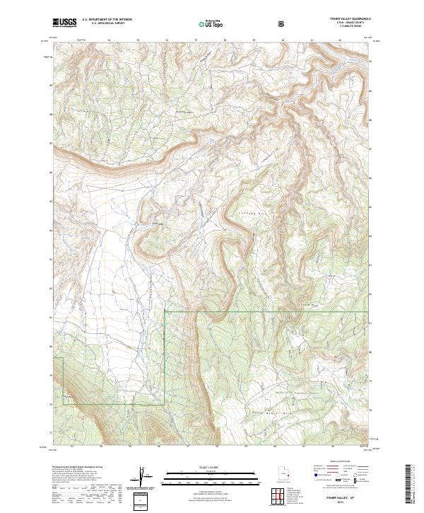
1985 Fisher Valley
Grand County, UT
1985 Gold Bar Canyon
Grand County, UT
1985 Marble Canyon
Grand County, UT
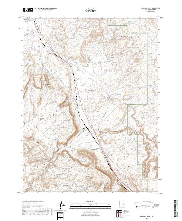
1985 Merrimac Butte
Grand County, UT
1985 Mount Waas
Grand County, UT

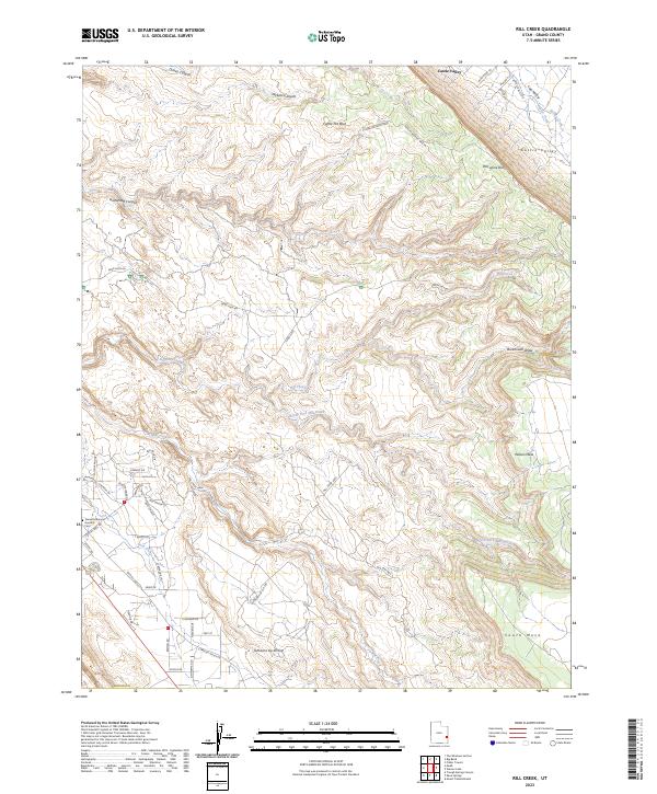
1985 Rill Creek
Grand County, UT
1985 Steamboat Mesa
Grand County, UT
1985 The Windows Section
Grand County, UT
1985 Westwater
Grand County, UT
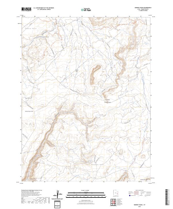
1988 Dubinky Wash
Grand County, UT
1988 Green River NE
Grand County, UT
1988 Green River SE
Grand County, UT
1988 Jug Rock
Grand County, UT
1988 Mineral Canyon
Grand County, UT
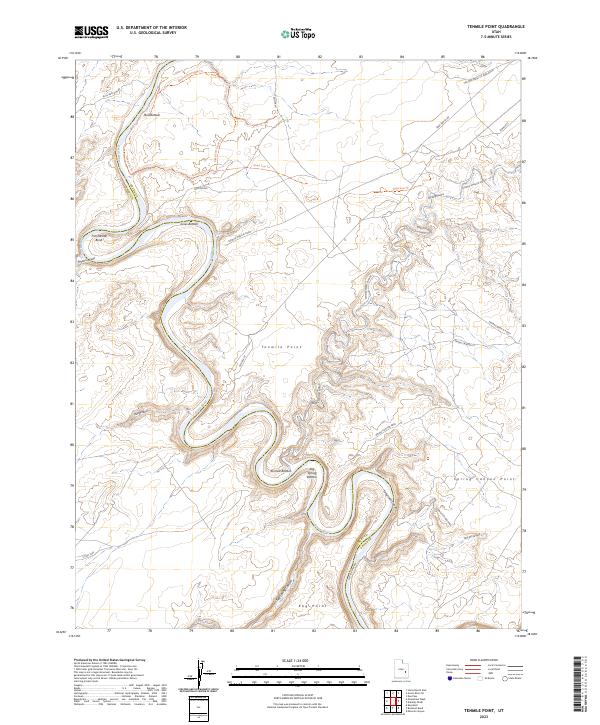
1988 Tenmile Point
Grand County, UT
1988 The Knoll
Grand County, UT
1991 Black Knolls
Grand County, UT
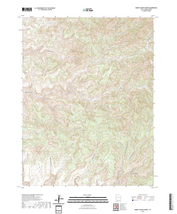
1991 Bobby Canyon North
Grand County, UT
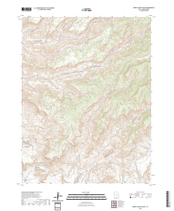
1991 Bobby Canyon South
Grand County, UT
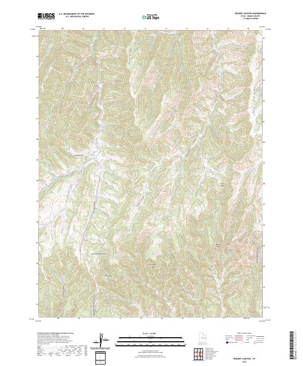
1991 Bogart Canyon
Grand County, UT
1991 Butler Canyon
Grand County, UT
1991 Calf Canyon
Grand County, UT
1991 Checken Fork
Grand County, UT
1991 Cisco
Grand County, UT
1991 Cisco SW
Grand County, UT
1991 Crescent Junction
Grand County, UT
1991 Dee Pass
Grand County, UT
1991 Floy Canyon North
Grand County, UT
1991 Floy Canyon South
Grand County, UT
1991 Hatch Mesa
Grand County, UT
1991 Klondike Bluffs
Grand County, UT
1991 Lion Canyon
Grand County, UT
1991 Mollie Hogans
Grand County, UT
1991 Moonwater Point
Grand County, UT
1991 Sagers Flat
Grand County, UT
1991 Sego Canyon
Grand County, UT
1991 Supply Canyon
Grand County, UT
1991 Tenmile Canyon North
Grand County, UT
1991 Tenmile Canyon South
Grand County, UT
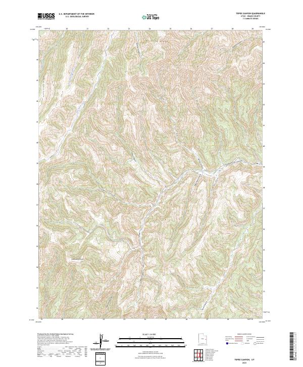
1991 Tepee Canyon
Grand County, UT
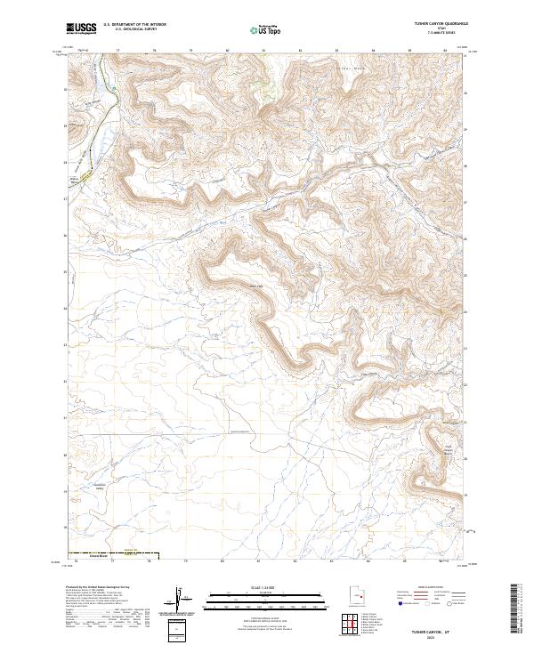
1991 Tusher Canyon
Grand County, UT
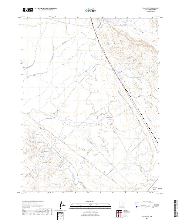
1991 Valley City
Grand County, UT
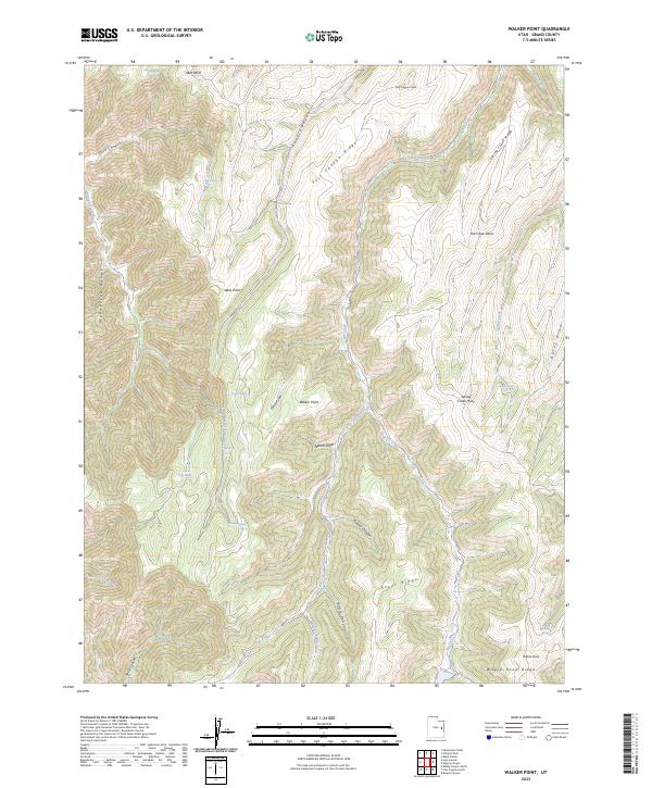
1991 Walker Point
Grand County, UT
1991 White House
Grand County, UT
1996 Mineral Canyon
Grand County, UT
1996 Rill Creek
Grand County, UT
1996 The Windows Section
Grand County, UT
2001 Dolores Point North
Grand County, UT
2001 Dolores Point South
Grand County, UT
2001 Fisher Towers
Grand County, UT
2001 Fisher Valley
Grand County, UT
2001 Mount Waas
Grand County, UT
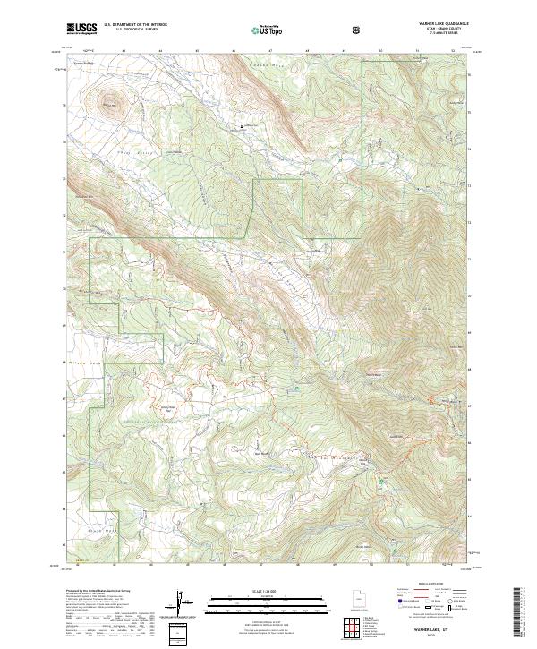
2001 Warner Lake
Grand County, UT
2023 Agate
Grand County, UT
2023 Antone Canyon
Grand County, UT
2023 Bar X Wash
Grand County, UT

2023 Big Bend
Grand County, UT
2023 Big Triangle
Grand County, UT
2023 Bitter Creek Well
Grand County, UT
2023 Black Knolls
Grand County, UT
2023 Blue Chief Mesa
Grand County, UT
2023 Bobby Canyon North
Grand County, UT
2023 Bobby Canyon South
Grand County, UT
2023 Bogart Canyon
Grand County, UT
2023 Bryson Canyon
Grand County, UT
2023 Butler Canyon
Grand County, UT
2023 Calf Canyon
Grand County, UT
2023 Cedar Camp Canyon
Grand County, UT
2023 Chicken Fork
Grand County, UT
2023 Cisco
Grand County, UT
2023 Cisco Springs
Grand County, UT
2023 Cisco SW
Grand County, UT
2023 Crescent Junction
Grand County, UT
2023 Danish Flat
Grand County, UT
2023 Dee Pass
Grand County, UT
2023 Dewey
Grand County, UT
2023 Dry Canyon
Grand County, UT
2023 Dubinky Wash
Grand County, UT
2023 Fisher Towers
Grand County, UT
2023 Fisher Valley
Grand County, UT
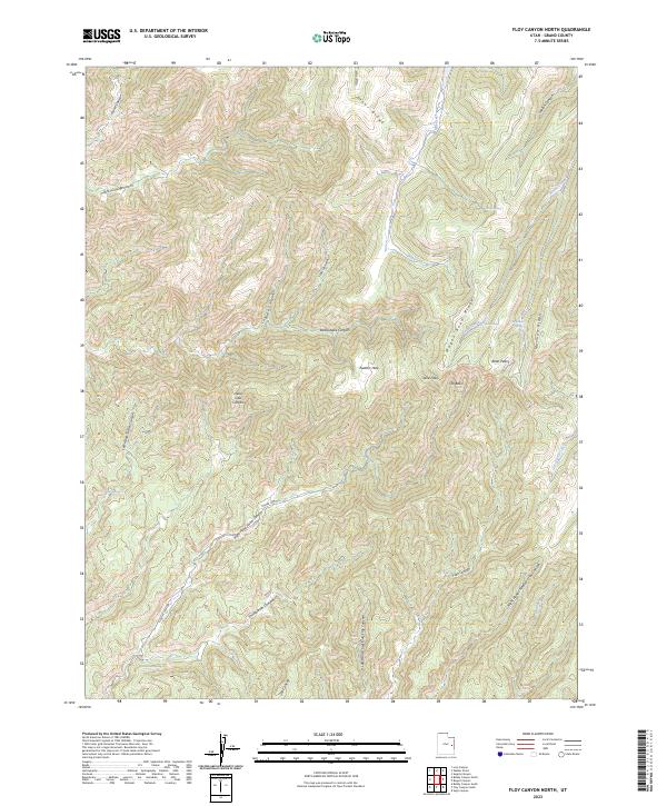
2023 Floy Canyon North
Grand County, UT
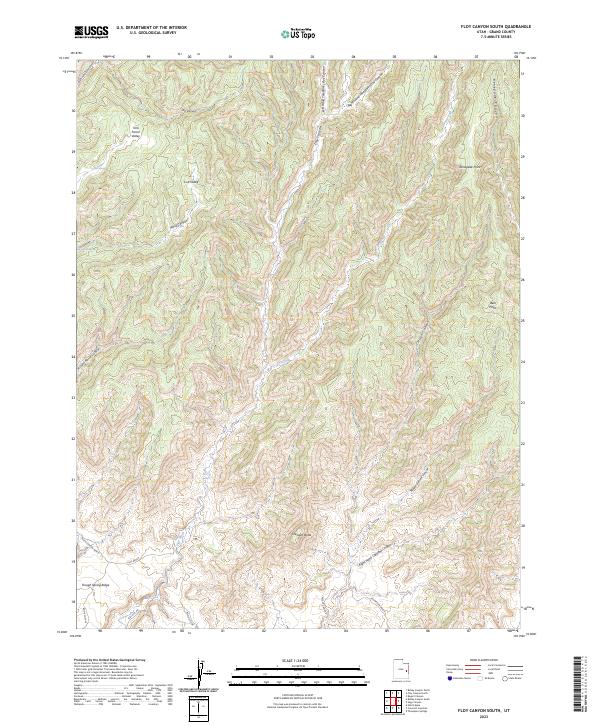
2023 Floy Canyon South
Grand County, UT
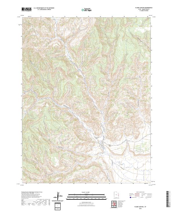
2023 Flume Canyon
Grand County, UT
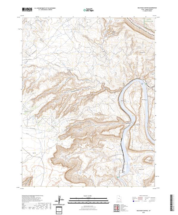
2023 Gold Bar Canyon
Grand County, UT
2023 Green River NE
Grand County, UT
2023 Green River SE
Grand County, UT
2023 Harley Dome
Grand County, UT
2023 Hatch Mesa
Grand County, UT
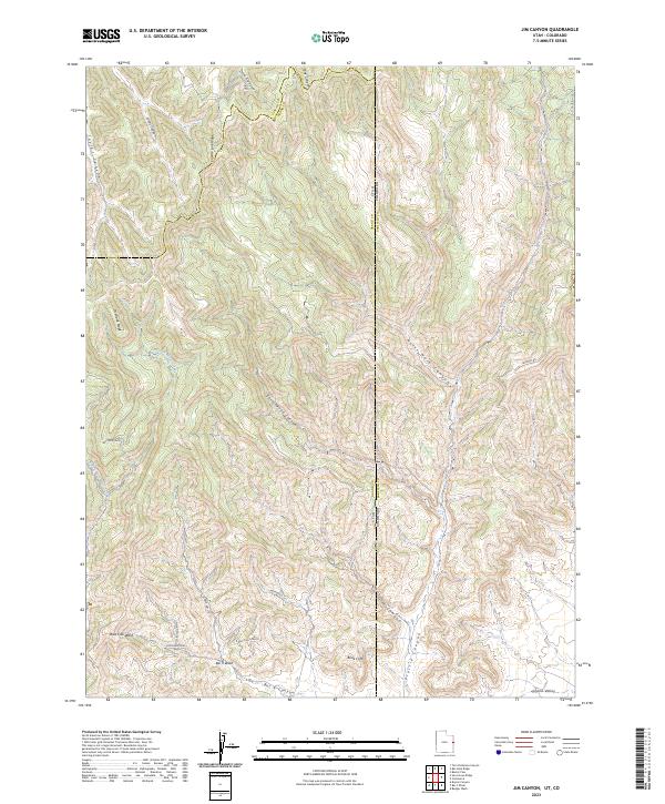
2023 Jim Canyon
Grand County, UT
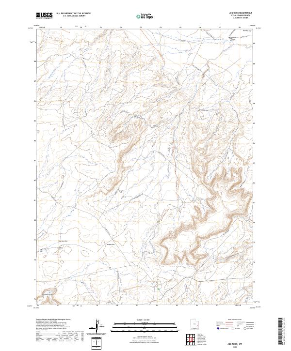
2023 Jug Rock
Grand County, UT
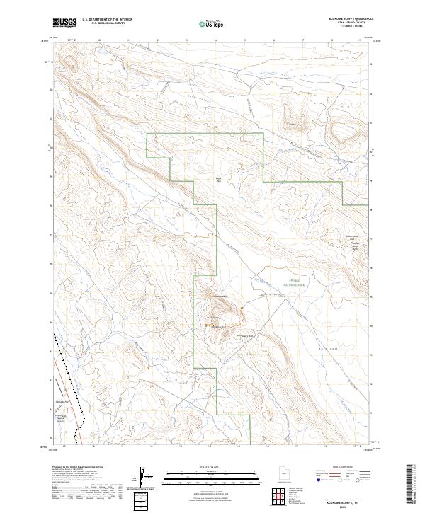
2023 Klondike Bluffs
Grand County, UT
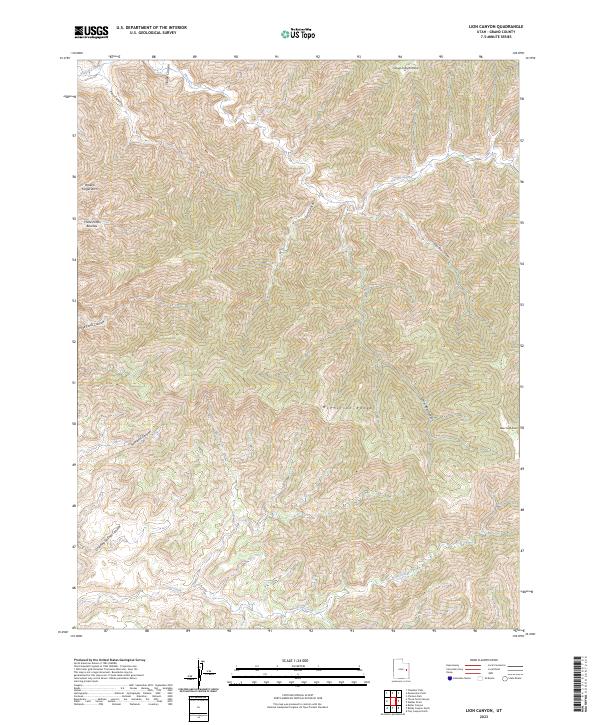
2023 Lion Canyon
Grand County, UT
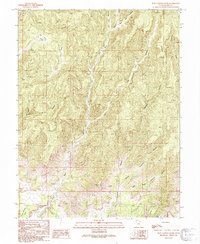
2023 Marble Canyon
Grand County, UT
2023 Merrimac Butte
Grand County, UT
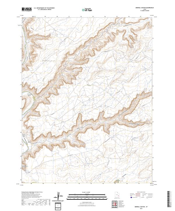
2023 Mineral Canyon
Grand County, UT
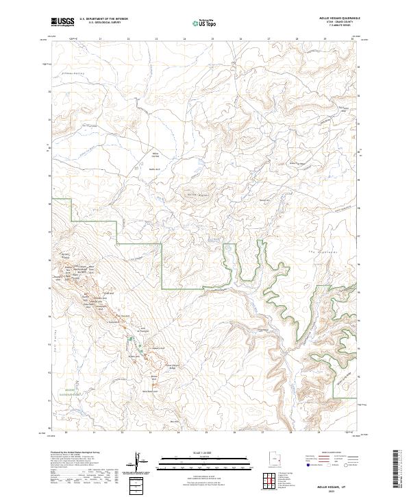
2023 Mollie Hogans
Grand County, UT
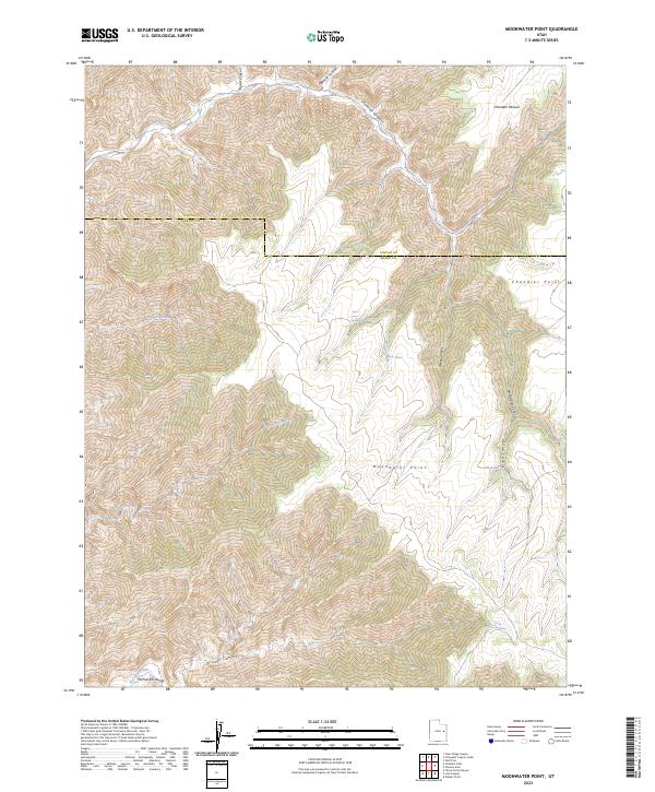
2023 Moonwater Point
Grand County, UT
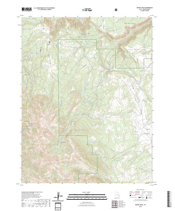
2023 Mount Waas
Grand County, UT
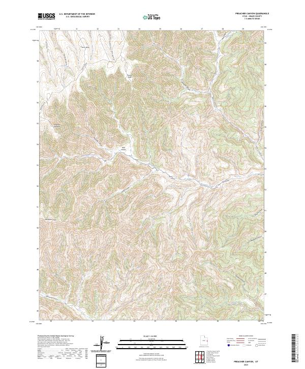
2023 Preacher Canyon
Grand County, UT
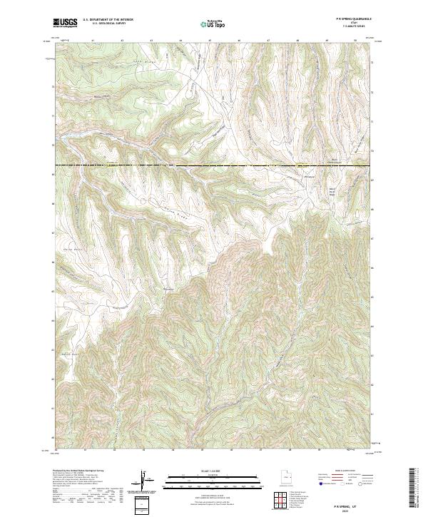
2023 P R Spring
Grand County, UT
2023 Rill Creek
Grand County, UT
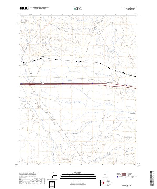
2023 Sagers Flat
Grand County, UT
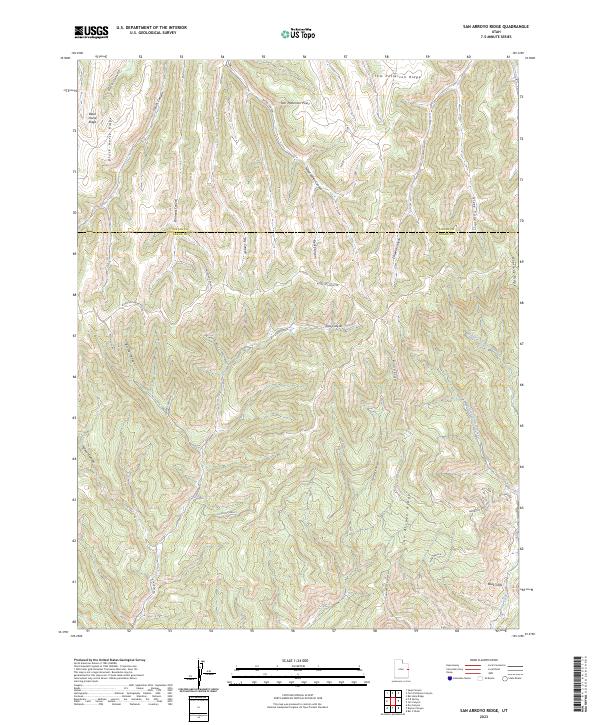
2023 San Arroyo Ridge
Grand County, UT
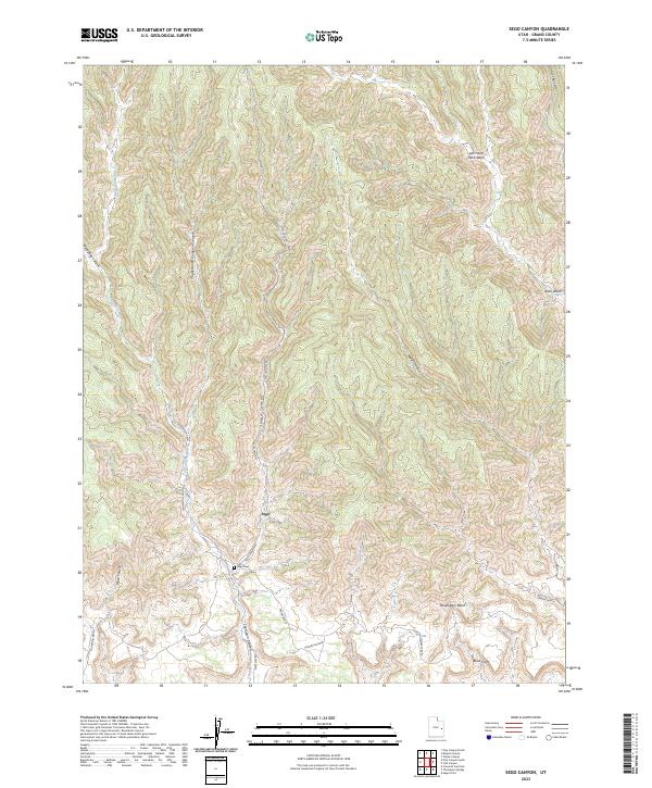
2023 Sego Canyon
Grand County, UT
2023 Steamboat Mesa
Grand County, UT
2023 Supply Canyon
Grand County, UT
2023 Tenmile Canyon North
Grand County, UT
2023 Tenmile Canyon South
Grand County, UT
2023 Tenmile Point
Grand County, UT
2023 Tepee Canyon
Grand County, UT
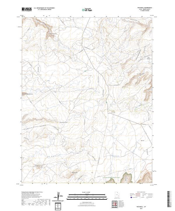
2023 The Knoll
Grand County, UT
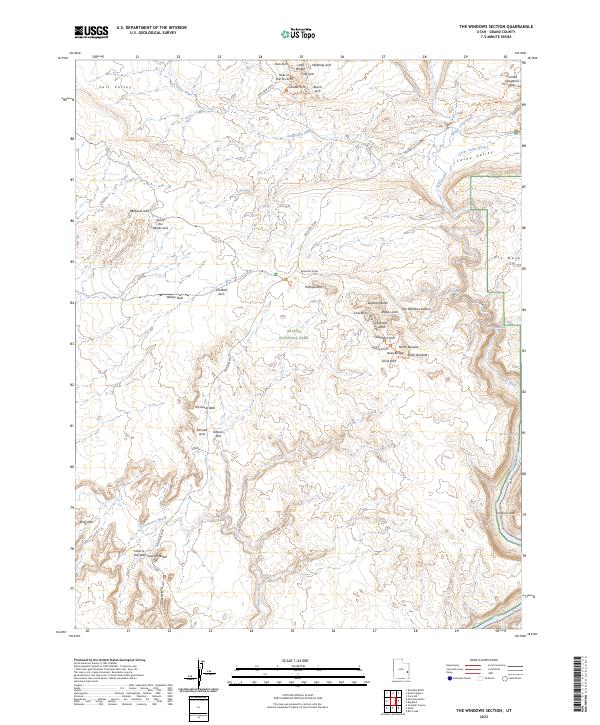
2023 The Windows Section
Grand County, UT
2023 Tusher Canyon
Grand County, UT
2023 Valley City
Grand County, UT
2023 Walker Point
Grand County, UT
2023 Warner Lake
Grand County, UT
2023 Westwater
Grand County, UT
2023 White House
Grand County, UT