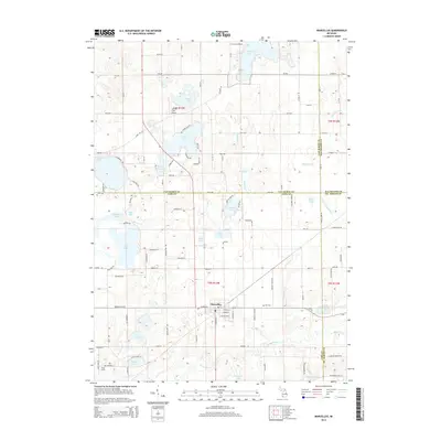
2014 Map of Marcellus
USGS Topo · Published 2014About this map
Marcellus serves as the primary hub in this southern Michigan landscape, situated at the junction of Cass, Van Buren, Kalamazoo, and St. Joseph counties. The terrain is defined by a dense concentration of glacial kettle lakes and wetlands, including Bankson Lake, Cedar Lake, and the expansive Gravel Lake to the northwest. This 2014 survey records a rural infrastructure where aviation at Cornish Field Airport meets the traditional water-management systems of the Four County Drain and Flowerfield Cr.
Find a feature on this map
73 named features on this map. Tap any name to fly to it.
Don’t see what you’re looking for? This feature index may not catch every label — zoom into the map to look around manually.
Map Details
Editions of this 2014 Marcellus Map
This is the sole edition of this map. No revisions or reprints were ever made.
Other maps of this area

1914 · Three Rivers
USGS Topo · 1:62,500

1916 · Three Rivers
USGS Topo · 1:62,500

1922 · Schoolcraft
USGS Topo · 1:62,500

1943 · Three Rivers
USGS Topo · 1:62,500

1943 · Schoolcraft
USGS Topo · 1:62,500

1944 · Marcellus
USGS Topo · 1:62,500

1946 · Marcellus
USGS Topo · 1:62,500

1948 · Vandalia
USGS Topo · 1:62,500

1949 · Vandalia
USGS Topo · 1:62,500

1953 · Fort Wayne
USGS Topo · 1:250,000
Featured Places
- Marcellus, MI
- Marcellus Township, MI
- Prairie Ronde Township, MI
- Porter Township, MI
- Flowerfield Township, MI