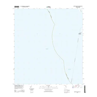
2015 Map of Marco Island OE W
USGS Topo · Published 2015About this map
The Gulf of Mexico dominates this coastal survey, where the open water meets the barrier islands of Collier County. The map details the delicate transition between the gulf and the Florida coastline, specifically focusing on the southern reaches of Keewaydin Is and the prominent South Point. This 2015 perspective illustrates the modern coastal geography where the Key West-Marco Island Fry traverses the maritime corridor. Because this is a coastal quadrangle largely centered over water, it highlights the navigational relationship between Marco Island and the neighboring keys. Researchers will find the exact maritime boundaries and landform extents as they existed in the mid-2010s, providing a baseline for studying shoreline change and coastal development in the Ten Thousand Islands region.
Find a feature on this map
7 named features on this map. Tap any name to fly to it.
Don’t see what you’re looking for? This feature index may not catch every label — zoom into the map to look around manually.
Map Details
Editions of this 2015 Marco Island OE W Map
This is the sole edition of this map. No revisions or reprints were ever made.
Other maps of this area

1956 · Miami
USGS Topo · 1:250,000

1956 · West Palm Beach
USGS Topo · 1:250,000

1957 · West Palm Beach
USGS Topo · 1:250,000

1958 · West Palm Beach
USGS Topo · 1:250,000

1958 · Miami
USGS Topo · 1:250,000

1958 · Belle Meade
USGS Topo · 1:24,000

1958 · Naples South
USGS Topo · 1:24,000

1973 · Cape Romano
USGS Topo · 1:24,000

1973 · Marco Island
USGS Topo · 1:24,000

1982 · Everglades City
USGS Topo · 1:100,000