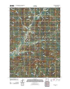
2011 Map of Marcola
USGS Topo · Published 2011About this map
The Mohawk River flows through this corner of Lane County, carving a valley that has long sustained the timber and agricultural communities of Marcola and Wendling. Early 21st-century geographic data reveals a landscape defined by its tributary system, including Mill Creek and Cartwright Creek, and the prominence of local landmarks like Drury Butte and Bunker Hill. The settlement pattern is anchored by essential civic sites, from the Marcola Post Office to three distinct burying grounds: Marcola Cemetery, Mabel Cemetery, and Drury Cemetery. These sites, along with the Earnest Bridge and Bedortha Reservoir, reflect the enduring footprint of rural Oregon life. The network of forest roads, such as Mohawk River Rd and Wendling Rd, traces the routes that connected these small mill towns to the broader region, while the Wendling Picnic Area marks a transition toward recreational land use in the river valley.
Find a feature on this map
65 named features on this map. Tap any name to fly to it.
Don’t see what you’re looking for? This feature index may not catch every label — zoom into the map to look around manually.
Map Details
Editions of this 2011 Marcola Map
This is the sole edition of this map. No revisions or reprints were ever made.
Other maps of this area
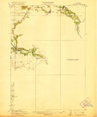
1921 · Brownsville
USGS Topo · 1:62,500
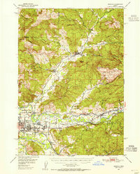
1950 · Marcola
USGS Topo · 1:62,500
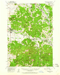
1950 · Brownsville
USGS Topo · 1:62,500
1951 · Sweet Home
USGS Topo · 1:62,500
1951 · Leaburg
USGS Topo · 1:62,500
1952 · Brownsville
USGS Topo · 1:62,500
1952 · Marcola
USGS Topo · 1:62,500

1953 · Salem
USGS Topo · 1:250,000

1954 · Salem
USGS Topo · 1:250,000
1960 · Salem
USGS Topo · 1:250,000