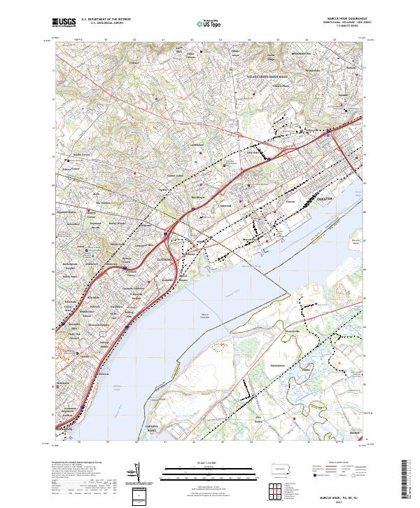
2023 Map of Marcus Hook
USGS Topo · Published 2023About this map
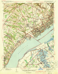
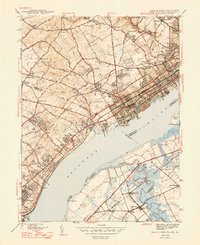
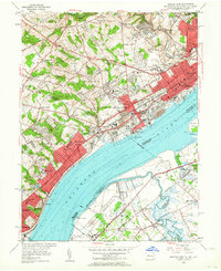
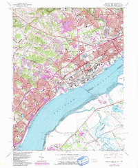
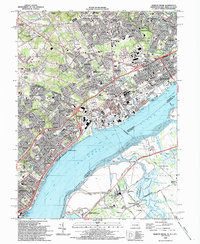
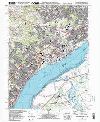
The Delaware River shoreline at Marcus Hook serves as a dense industrial and maritime corridor where the borders of Pennsylvania, Delaware, and New Jersey converge. This modern topographic record details the intricate transit network dominated by I-95, Philadelphia Pike, and the Septa rail lines that thread through historic communities like Trainer, Linwood, and Boothwyn. The map reveals a landscape heavily shaped by its proximity to the water, featuring the Marcus Hook Range and Raccoon Island alongside inland developments like Gardendale and Garnet Valley.
Find a feature on this map
126 named features on this map. Tap any name to fly to it.
Don’t see what you’re looking for? This feature index may not catch every label — zoom into the map to look around manually.
Map Details
Editions of this 2023 Marcus Hook Map
This is the sole edition of this map. No revisions or reprints were ever made.
Historical Maps of Princeton Estates Through Time
7 maps found