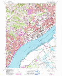
1967 Map of Marcus Hook
USGS Topo · Published 1991About this map
The industrial corridor along the Delaware River comes into sharp focus on this mid-century survey, capturing a landscape where manufacturing, major rail lines like the Baltimore and Ohio, and dense residential neighborhoods converge. Notable for its concentration of educational and religious institutions, the area includes Our Lady of Angels College, Archmere Prep Sch, and St Patricks Monastery. The map reveals the intricate transition between the established city of Chester and the developing residential pockets of Boothwyn and Claymont.
Find a feature on this map
99 named features on this map. Tap any name to fly to it.
Don’t see what you’re looking for? This feature index may not catch every label — zoom into the map to look around manually.
Map Details
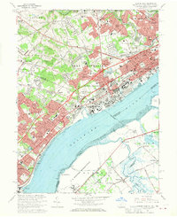
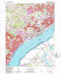
Editions of this 1967 Marcus Hook Map
3 editions found
Other maps of this area

1890 · Salem
USGS Topo · 1:62,500

1894 · Chester
USGS Topo · 1:62,500

1896 · Chester
USGS Topo · 1:62,500

1898 · Salem
USGS Topo · 1:62,500

1898 · Chester
USGS Topo · 1:62,500

1901 · Camden
USGS Topo · 1:125,000

1901 · West Chester
USGS Topo · 1:62,500

1904 · West Chester
USGS Topo · 1:62,500

1904 · Wilmington
USGS Topo · 1:62,500

1906 · Wilmington
USGS Topo · 1:62,500