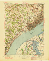
1948 Map of Marcus Hook
USGS Topo · Published 1948About this map
Industrial developments along the Delaware River define this 1939 survey of the tri-state border region. The borough of Marcus Hook stands as a focal point, flanked by the Quarantine Sta and the heavy infrastructure of the Reading Railroad and Pennsylvania Railroad. To the north, the landscape transitions into a mix of established residential and educational sites, including the Washington Sch and Franklin Sch, alongside religious landmarks like Mt Hope Ch.
Find a feature on this map
86 named features on this map. Tap any name to fly to it.
Don’t see what you’re looking for? This feature index may not catch every label — zoom into the map to look around manually.
Map Details
Editions of this 1948 Marcus Hook Map
2 editions found
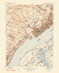
Other maps of this area

1890 · Salem
USGS Topo · 1:62,500

1894 · Chester
USGS Topo · 1:62,500

1896 · Chester
USGS Topo · 1:62,500

1898 · Salem
USGS Topo · 1:62,500

1898 · Chester
USGS Topo · 1:62,500

1901 · Camden
USGS Topo · 1:125,000

1901 · West Chester
USGS Topo · 1:62,500

1904 · West Chester
USGS Topo · 1:62,500

1904 · Wilmington
USGS Topo · 1:62,500

1906 · Wilmington
USGS Topo · 1:62,500