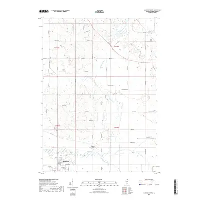
2018 Map of Marengo North
USGS Topo · Published 2018About this map
Marengo anchors the southern edge of this McHenry County landscape, where the town's grid meets the branching hydrology of the region. The area is defined by the convergence of the N Br Kishwaukee River and its southern and main branches, creating a network of drainage across the northern Illinois prairie. Rural life is reflected in the placement of small community markers like the South Dunham Cem and the Pioneer Cem, while the presence of Hilbert Airport and Aerogrange Airport indicates a reliance on small-scale aviation within this agricultural corridor.
Find a feature on this map
88 named features on this map. Tap any name to fly to it.
Don’t see what you’re looking for? This feature index may not catch every label — zoom into the map to look around manually.
Map Details
Editions of this 2018 Marengo North Map
This is the sole edition of this map. No revisions or reprints were ever made.
Other maps of this area

1925 · Elgin
USGS Topo · 1:62,500

1926 · Mc Henry
USGS Topo · 1:62,500

1932 · Harvard
USGS Topo · 1:48,000

1937 · Harvard
USGS Topo · 1:62,500

1938 · Genoa
USGS Topo · 1:62,500

1940 · Elgin
USGS Topo · 1:62,500

1944 · McHenry
USGS Topo · 1:62,500

1954 · Rockford
USGS Topo · 1:250,000

1955 · Rockford
USGS Topo · 1:250,000

1958 · Rockford
USGS Topo · 1:250,000