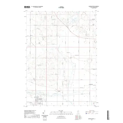
2021 Map of Marengo North
USGS Topo · Published 2021About this map
The Kishwaukee River system dominates this northern Illinois landscape, with the north and south branches converging near the city of Marengo. This modern survey documents a region defined by its transition from the northern edges of the city into the agricultural reaches of McHenry County. Small rural airfields like Hilbert Airport and Hunter Airport are scattered across the terrain, indicating a landscape of open fields and private aviation. The map preserves the locations of vital community landmarks for local historians, including the Sacred Heart Cem and South Dunham Cem near the western edge. Tracing the route of E Us Rte 14 northwest from the settlement of Hartland, one can see how contemporary road networks follow long-established transit corridors through the river valley and past older hamlets like Franklinville.
Find a feature on this map
84 named features on this map. Tap any name to fly to it.
Don’t see what you’re looking for? This feature index may not catch every label — zoom into the map to look around manually.
Map Details
Editions of this 2021 Marengo North Map
This is the sole edition of this map. No revisions or reprints were ever made.
Other maps of this area

1925 · Elgin
USGS Topo · 1:62,500

1926 · Mc Henry
USGS Topo · 1:62,500

1932 · Harvard
USGS Topo · 1:48,000

1937 · Harvard
USGS Topo · 1:62,500

1938 · Genoa
USGS Topo · 1:62,500

1940 · Elgin
USGS Topo · 1:62,500

1944 · McHenry
USGS Topo · 1:62,500

1954 · Rockford
USGS Topo · 1:250,000

1955 · Rockford
USGS Topo · 1:250,000

1958 · Rockford
USGS Topo · 1:250,000