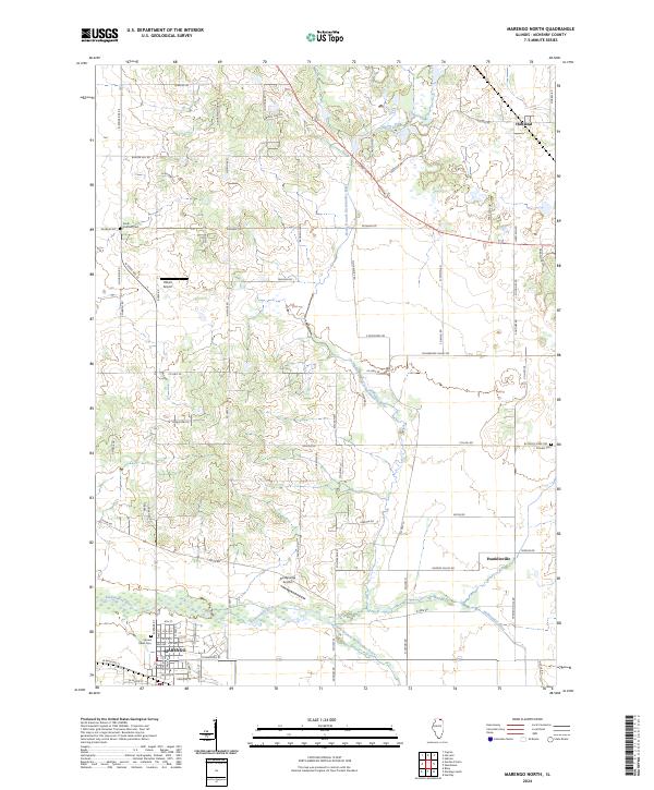
2024 Map of Marengo North
USGS Topo · Published 2024About this map
Marengo anchor the southern edge of this McHenry County landscape, where the confluence of the Kishwaukee River and its branches dictates the local topography. This agricultural corridor, documented in the 2020s, shows a persistent pattern of rural settlement and transport. The North Branch Kishwaukee River and South Branch Kishwaukee River wind through the township, defining the lowlands between established family-named roads like Dunham Rd and Paulson Rd. Small clusters at Hartland and Franklinville represent the historic hamlets that have long served this farming district. Local history is anchored by several burial grounds, including the centrally located Pioneer Cem and Sacred Heart Cem near the town center. The presence of both the Aerogrange Airport and Hilbert Airport reflects the area's transition into a modern rural-residential landscape, while maintaining the geometric grid of 19th-century land divisions.
Find a feature on this map
83 named features on this map. Tap any name to fly to it.
Don’t see what you’re looking for? This feature index may not catch every label — zoom into the map to look around manually.
Map Details
Editions of this 2024 Marengo North Map
This is the sole edition of this map. No revisions or reprints were ever made.
Other maps of this area

1925 · Elgin
USGS Topo · 1:62,500

1926 · Mc Henry
USGS Topo · 1:62,500

1932 · Harvard
USGS Topo · 1:48,000

1937 · Harvard
USGS Topo · 1:62,500

1938 · Genoa
USGS Topo · 1:62,500

1940 · Elgin
USGS Topo · 1:62,500

1944 · McHenry
USGS Topo · 1:62,500

1954 · Rockford
USGS Topo · 1:250,000

1955 · Rockford
USGS Topo · 1:250,000

1958 · Rockford
USGS Topo · 1:250,000