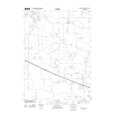
2012 Map of Marengo South
USGS Topo · Published 2012About this map
Union and Coral stand as central points in this landscape, where the agricultural traditions of Illinois meet a growing network of private aviation and modern transit. The terrain is defined by the S Br Kishwaukee River in the north and Coon Cr in the south, with the historic Union Cem, Coral Cem, and Harmony Cem grounding the area's genealogy. A striking feature of this period is the concentration of small airfields and private strips, ranging from the uniquely named Hilbert's Funny Farm Airport to the Casa de Aero Park Airport. Residential growth is evident in developments like Indian Trails and Aldens Farms, which are woven into the existing road network of W Union Rd and S Coral Rd. This map documents a specific moment where traditional rural townships are adapting to the modern logistics and recreation needs of the early 21st century.
Find a feature on this map
116 named features on this map. Tap any name to fly to it.
Don’t see what you’re looking for? This feature index may not catch every label — zoom into the map to look around manually.
Map Details
Editions of this 2012 Marengo South Map
This is the sole edition of this map. No revisions or reprints were ever made.
Other maps of this area

1925 · Elgin
USGS Topo · 1:62,500

1926 · Mc Henry
USGS Topo · 1:62,500

1932 · Harvard
USGS Topo · 1:48,000

1937 · Harvard
USGS Topo · 1:62,500

1938 · Genoa
USGS Topo · 1:62,500

1940 · Elgin
USGS Topo · 1:62,500

1944 · McHenry
USGS Topo · 1:62,500

1954 · Rockford
USGS Topo · 1:250,000

1955 · Rockford
USGS Topo · 1:250,000

1958 · Rockford
USGS Topo · 1:250,000