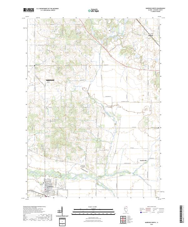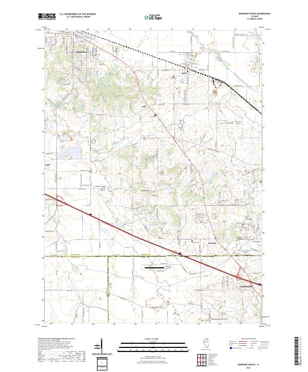
2024 Map of Marengo South
USGS Topo · Published 2024About this map
Marengo and Hampshire anchor this landscape where the agricultural prairies of northern Illinois meet modern aviation and transportation corridors. The map reveals a high density of private and community airstrips, including Casa De Aero Park, Sky Soaring Airport, and the Funny Farm Airport, reflecting a distinct regional character where rural land use and hobbyist aviation coexist. The southern reaches of McHenry County are defined by the winding paths of the Kishwaukee River and its South Branch, which cut through a network of long-established settlements like Union, Coral, and Harmony. Genealogists and local historians can trace legacy sites through local burial grounds, such as Union Cem and Coral Cem, while the intersection of S State Rte 23 and various county highways illustrates the evolution of rural transit from farm-to-market roads to modern thoroughfares.
Find a feature on this map
124 named features on this map. Tap any name to fly to it.
Don’t see what you’re looking for? This feature index may not catch every label — zoom into the map to look around manually.
Map Details
Editions of this 2024 Marengo South Map
This is the sole edition of this map. No revisions or reprints were ever made.
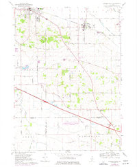
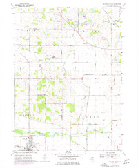
Historical Maps of Union Through Time
4 maps found