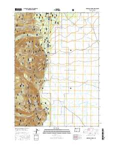
2017 Map of Mares Egg Spring
USGS Topo · Published 2017About this map
Winema National Forest covers the western highlands of this Klamath County landscape, giving way to the expansive hydrology of the Wood River valley. The contrast between the timbered slopes and the valley floor is stark, defined by an intricate network of irrigation and drainage infrastructure including the Sevenmile Ditch, Melhase Ditch, and Central Canal. These features, along with Annie Slough, illustrate the complex water management required for the agricultural lands of Fort Klamath Meadows.
Find a feature on this map
52 named features on this map. Tap any name to fly to it.
Don’t see what you’re looking for? This feature index may not catch every label — zoom into the map to look around manually.
Map Details
Editions of this 2017 Mares Egg Spring Map
This is the sole edition of this map. No revisions or reprints were ever made.
Other maps of this area

1889 · Klamath
USGS Topo · 1:250,000

1891 · Ashland
USGS Topo · 1:250,000

1893 · Ashland
USGS Topo · 1:250,000

1894 · Klamath
USGS Topo · 1:250,000

1897 · Ashland
USGS Topo · 1:250,000

1955 · Pelican Butte
USGS Topo · 1:62,500

1955 · Klamath Falls
USGS Topo · 1:250,000

1955 · Medford
USGS Topo · 1:250,000

1957 · Medford
USGS Topo · 1:250,000

1957 · Chiloquin
USGS Topo · 1:62,500