
1966 Map of Margarettsville
USGS Topo · Published 1968About this map
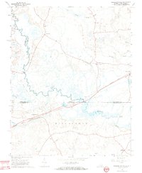
The Meherrin River meanders through this borderland where Virginia and North Carolina meet, shaping a landscape dominated by extensive wetlands like Flat Swamp and Buckhorn Swamp. The settlement of Margarettsville serves as a focal point along the Seaboard Coast Line railroad, illustrating the importance of rail transit to the local economy in the mid-1960s. North of the state line, the Old Railroad Grade traces an earlier transportation path near Fontaine Creek, now bypassed by modern routes.
Find a feature on this map
28 named features on this map. Tap any name to fly to it.
Don’t see what you’re looking for? This feature index may not catch every label — zoom into the map to look around manually.
Map Details
Editions of this 1966 Margarettsville Map
4 editions found
Other maps of this area

1919 · Boykins
USGS Topo · 1:48,000

1919 · Arringdale
USGS Topo · 1:48,000

1920 · Boykins
USGS Topo · 1:62,500

1920 · Arringdale
USGS Topo · 1:62,500

1942 · Arringdale
USGS Topo · 1:62,500

1953 · Norfolk
USGS Topo · 1:250,000
1966 · Capron
USGS Topo · 1:24,000
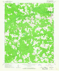
1966 · Drewryville
USGS Topo · 1:24,000
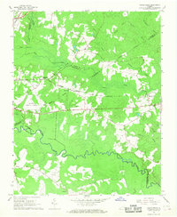
1966 · Adams Grove
USGS Topo · 1:24,000
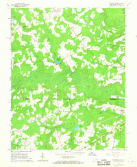
1966 · Claresville
USGS Topo · 1:24,000