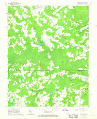
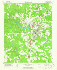
1966 Map of Claresville
USGS Topo · Published 1968About this map
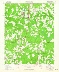
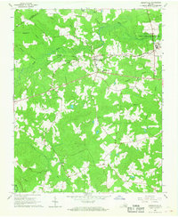
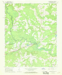
Claresville and the surrounding borderlands of the Virginia and North Carolina line are defined by a network of slow-moving waterways and agricultural clearings. The landscape is dominated by the swampy basins of Fontaine Creek and Cypress Creek, where the presence of Taylors Millpond and Jordans Millpond suggests the long-standing role of water power in this rural economy. The boundary between Greensville Co and Northampton Co runs through these wetlands, separating the southern Tidewater of Virginia from the coastal plains of North Carolina.
Find a feature on this map
20 named features on this map. Tap any name to fly to it.
Don’t see what you’re looking for? This feature index may not catch every label — zoom into the map to look around manually.
Map Details
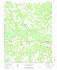
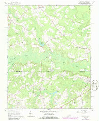
Editions of this 1966 Claresville Map
3 editions found
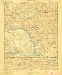
Other maps of this area

1919 · Emporia
USGS Topo · 1:62,500

1919 · Arringdale
USGS Topo · 1:48,000
1920 · Arringdale
USGS Topo · 1:62,500

1942 · Arringdale
USGS Topo · 1:62,500

1942 · Emporia
USGS Topo · 1:62,500

1953 · Norfolk
USGS Topo · 1:250,000
1963 · Skippers
USGS Topo · 1:24,000
1963 · Emporia
USGS Topo · 1:24,000
1966 · Drewryville
USGS Topo · 1:24,000
1966 · Margarettsville
USGS Topo · 1:24,000