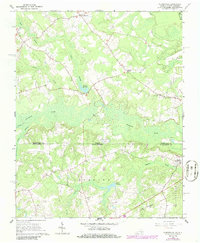
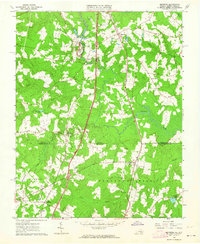
1966 Map of Claresville
USGS Topo · Published 1986About this map
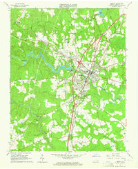
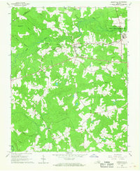
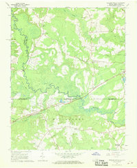
The Virginia and North Carolina state line bisects this landscape where Greensville County meets Northampton County. Low-lying wetlands dominate the terrain, notably the expansive Fountains Creek and Mill Swamp drainage systems. Small rural communities and crossroads, such as Claresville and Bryants Corner, are connected by a network of roads and the prominent Seaboard railroad corridor. The area’s religious and social history is anchored by several country churches, including St Andrews Ch, Morris Hill Ch, and Fountain Grove Ch. Human intervention in the watery landscape is evident through established impoundments like Taylors Millpond and Jordans Millpond, which suggest a long history of water-based industry or land management along the creeks. These features, along with numerous scattered cemeteries, provide a clear record of the settlement patterns in this border region during the mid-twentieth century.
Find a feature on this map
24 named features on this map. Tap any name to fly to it.
Don’t see what you’re looking for? This feature index may not catch every label — zoom into the map to look around manually.
Map Details
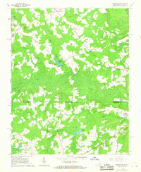
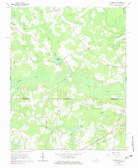
Editions of this 1966 Claresville Map
3 editions found
Other maps of this area

1919 · Emporia
USGS Topo · 1:62,500

1919 · Arringdale
USGS Topo · 1:48,000
1920 · Arringdale
USGS Topo · 1:62,500

1942 · Arringdale
USGS Topo · 1:62,500

1942 · Emporia
USGS Topo · 1:62,500

1953 · Norfolk
USGS Topo · 1:250,000
1963 · Skippers
USGS Topo · 1:24,000
1963 · Emporia
USGS Topo · 1:24,000
1966 · Drewryville
USGS Topo · 1:24,000
1966 · Margarettsville
USGS Topo · 1:24,000