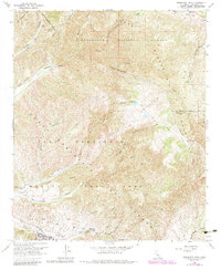
1968 Map of Margarita Peak
USGS Topo · Published 1984About this map
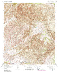
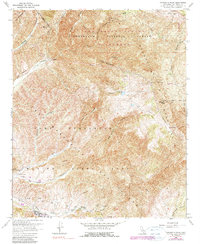
The Santa Margarita Mountains dominate this rugged sector of San Diego County, where high peaks overlook a complex network of canyons and military infrastructure. Margarita Peak stands as a prominent landmark, supporting the Margarita Lookout Tower to monitor the surrounding Cleveland National Forest. The landscape is defined by the transition from protected forest lands to the extensive Marine Corps Base at Camp Pendleton Naval Reservation. Evidence of active training is visible through numerous firing ranges and strategically placed observation towers along ridges like Horno Summit. Water sources are scattered throughout the dry terrain, including Case Spring, Mud Springs, and White Oak Springs, which have historically sustained travelers along routes like the Indian Potrero Truck Trail. The drainage patterns of San Mateo Canyon and San Onofre Canyon illustrate the deep erosion that has shaped this coastal mountain range.
Find a feature on this map
35 named features on this map. Tap any name to fly to it.
Don’t see what you’re looking for? This feature index may not catch every label — zoom into the map to look around manually.
Map Details
Editions of this 1968 Margarita Peak Map
6 editions found
Other maps of this area

1901 · Southern California Sheet No. 1
USGS Topo · 1:250,000

1901 · Elsinore
USGS Topo · 1:125,000

1901 · San Luis Rey
USGS Topo · 1:125,000

1902 · Capistrano
USGS Topo · 1:125,000

1902 · Corona
USGS Topo · 1:125,000

1904 · Southern California Sheet No. 2
USGS Topo · 1:250,000

1904 · Southern California Sheet No. 1
USGS Topo · 1:250,000

1906 · Capistrano
USGS Topo · 1:125,000

1941 · Margarita Peak
USGS Topo · 1:62,500

1942 · Lake Elsinore
USGS Topo · 1:62,500