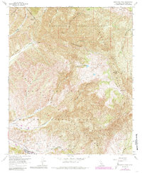
1968 Map of Margarita Peak
USGS Topo · Published 1985About this map
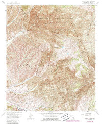
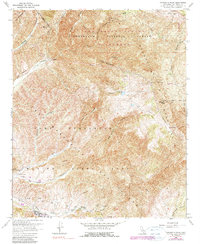
Marine Corps Base Camp Pendleton dominates the southern landscape of this California quadrangle, showing the extensive network of military infrastructure in place by the late 1960s. The map details numerous Firing Ranges and an Observation Tower situated among the drainage of San Onofre Canyon. Further north, the terrain transitions into the protected acreage of the Cleveland National Forest, where the Santa Margarita Mountains rise toward Margarita Peak. This intersection of military training grounds and national forest land is tied together by rugged transportation routes like Basilone Road and various truck trails. For researchers, the map provides precise locations for remote water sources such as Case Spring, White Oak Springs, and Mad Springs, alongside landmarks like the Miller Mtn summit and the Gaging Station located along the canyon floors.
Find a feature on this map
37 named features on this map. Tap any name to fly to it.
Don’t see what you’re looking for? This feature index may not catch every label — zoom into the map to look around manually.
Map Details
Editions of this 1968 Margarita Peak Map
6 editions found
Other maps of this area

1901 · Southern California Sheet No. 1
USGS Topo · 1:250,000

1901 · Elsinore
USGS Topo · 1:125,000

1901 · San Luis Rey
USGS Topo · 1:125,000

1902 · Capistrano
USGS Topo · 1:125,000

1902 · Corona
USGS Topo · 1:125,000

1904 · Southern California Sheet No. 2
USGS Topo · 1:250,000

1904 · Southern California Sheet No. 1
USGS Topo · 1:250,000

1906 · Capistrano
USGS Topo · 1:125,000

1941 · Margarita Peak
USGS Topo · 1:62,500

1942 · Lake Elsinore
USGS Topo · 1:62,500