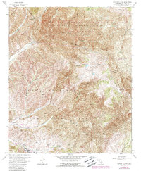
1968 Map of Margarita Peak
USGS Topo · Published 1988About this map
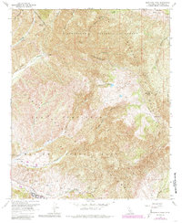
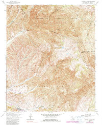
Marine Corps Base Camp Pendleton dominates the southern landscape of this 1968 survey, showing the military's extensive use of the terrain for training and operations. Training infrastructure is visible through multiple Firing Ranges, an Observation Tower, and the installation at Camp Margarita. The transition from active military use to protected natural areas is marked by the boundaries of the Cleveland National Forest and the San Mateo Canyon Wilderness to the north.
Find a feature on this map
25 named features on this map. Tap any name to fly to it.
Don’t see what you’re looking for? This feature index may not catch every label — zoom into the map to look around manually.
Map Details
Editions of this 1968 Margarita Peak Map
6 editions found
Other maps of this area

1901 · Southern California Sheet No. 1
USGS Topo · 1:250,000

1901 · Elsinore
USGS Topo · 1:125,000

1901 · San Luis Rey
USGS Topo · 1:125,000

1902 · Capistrano
USGS Topo · 1:125,000

1902 · Corona
USGS Topo · 1:125,000

1904 · Southern California Sheet No. 2
USGS Topo · 1:250,000

1904 · Southern California Sheet No. 1
USGS Topo · 1:250,000

1906 · Capistrano
USGS Topo · 1:125,000

1941 · Margarita Peak
USGS Topo · 1:62,500

1942 · Lake Elsinore
USGS Topo · 1:62,500