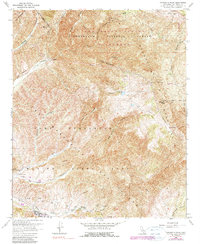
1968 Map of Margarita Peak
USGS Topo · Published 1990About this map
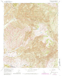
Camp Margarita and the expansive training grounds of Marine Corps Base Camp Pendleton dominate this late-century landscape, illustrating the heavy military footprint in northern San Diego County. The map details a transition from the structured infrastructure of the base, including several Firing Ranges and an Observation Tower, to the wilder northern reaches of the Margarita Mountains. These heights are crowned by Margarita Peak and its attendant Margarita Lookout Tower.
Find a feature on this map
32 named features on this map. Tap any name to fly to it.
Don’t see what you’re looking for? This feature index may not catch every label — zoom into the map to look around manually.
Map Details
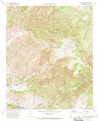
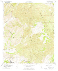
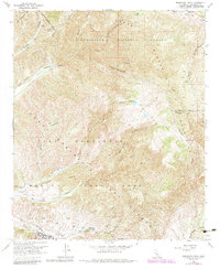
Editions of this 1968 Margarita Peak Map
6 editions found
Other maps of this area

1901 · Southern California Sheet No. 1
USGS Topo · 1:250,000

1901 · Elsinore
USGS Topo · 1:125,000

1901 · San Luis Rey
USGS Topo · 1:125,000

1902 · Capistrano
USGS Topo · 1:125,000

1902 · Corona
USGS Topo · 1:125,000

1904 · Southern California Sheet No. 2
USGS Topo · 1:250,000

1904 · Southern California Sheet No. 1
USGS Topo · 1:250,000

1906 · Capistrano
USGS Topo · 1:125,000

1941 · Margarita Peak
USGS Topo · 1:62,500

1942 · Lake Elsinore
USGS Topo · 1:62,500