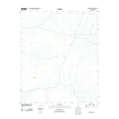
2011 Map of Margies Peak
USGS Topo · Published 2011About this map
Margies Peak anchors this southwestern Arizona landscape, serving as a prominent geographical marker in a region defined by its desert drainage patterns. In the early 21st century, the area remains largely undeveloped, characterized by a complex network of ephemeral washes that channel water during seasonal rains. Functional infrastructure is primarily limited to water catchments like Hazen Tank and the CCC tank in the northern reaches, which reflect the necessity of water management in this arid environment. The road network, including Ocotillo Rd and Komatke Rd, follows a predominantly rectilinear grid typical of Western land surveys, yet many routes like W Woods Rd appear as isolated tracks across the desert floor. This map captures the intersection of traditional desert resource management and modern logistical boundaries south of the Gila River valley.
Find a feature on this map
9 named features on this map. Tap any name to fly to it.
Don’t see what you’re looking for? This feature index may not catch every label — zoom into the map to look around manually.
Map Details
Editions of this 2011 Margies Peak Map
This is the sole edition of this map. No revisions or reprints were ever made.
Other maps of this area
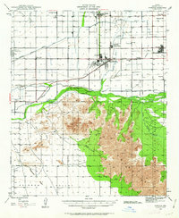
1946 · Avondale
USGS Topo · 1:62,500
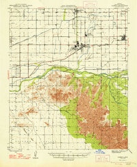
1948 · Cashion
USGS Topo · 1:62,500
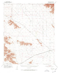
1951 · Mobile
USGS Topo · 1:62,500
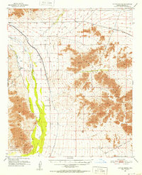
1951 · Cotton Center
USGS Topo · 1:62,500
1954 · Phoenix
USGS Topo · 1:250,000
1957 · Phoenix
USGS Topo · 1:250,000
1957 · Avondale SW
USGS Topo · 1:24,000
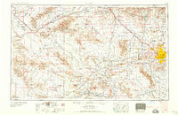
1958 · Phoenix
USGS Topo · 1:250,000
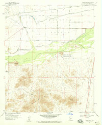
1958 · Hassayampa
USGS Topo · 1:24,000
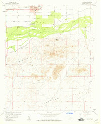
1958 · Buckeye
USGS Topo · 1:24,000