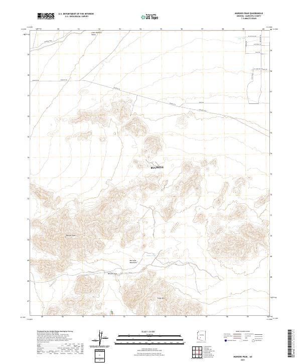
2021 Map of Margies Peak
USGS Topo · Published 2021About this map
The Maricopa Mountains dominate this high-desert landscape in the southwestern reaches of Buckeye. This survey illustrates the intricate topography of the region, anchored by the prominent summit of Margies Peak and the nearby Sheep Mtn. The terrain is defined by dry drainage systems such as Rainbow Wash and the wide expanse of the Little Rainbow Valley. Human activity is primarily visible through a network of local roads including Komatke Rd and Riggs Rd, as well as essential water management points like Hazen Tank and CCC tank. The presence of Margies Cove indicates the natural sheltered areas within the desert peaks, providing a clear picture of the land's character in the early 21st century.
Find a feature on this map
25 named features on this map. Tap any name to fly to it.
Don’t see what you’re looking for? This feature index may not catch every label — zoom into the map to look around manually.
Map Details
Editions of this 2021 Margies Peak Map
This is the sole edition of this map. No revisions or reprints were ever made.
Other maps of this area

1946 · Avondale
USGS Topo · 1:62,500

1948 · Cashion
USGS Topo · 1:62,500

1951 · Mobile
USGS Topo · 1:62,500

1951 · Cotton Center
USGS Topo · 1:62,500

1954 · Phoenix
USGS Topo · 1:250,000

1957 · Phoenix
USGS Topo · 1:250,000

1957 · Avondale SW
USGS Topo · 1:24,000

1958 · Phoenix
USGS Topo · 1:250,000

1958 · Hassayampa
USGS Topo · 1:24,000

1958 · Buckeye
USGS Topo · 1:24,000