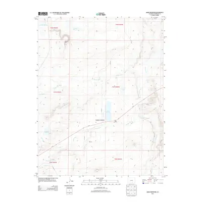
2013 Map of Maria Reservoir
USGS Topo · Published 2013About this map
Cuchara Junction serves as the focal point of this Huerfano County landscape, where the Cucharas River and numerous arroyos dictate the settlement and agricultural patterns. The area is defined by a sophisticated water management system necessary for high-plains survival, featuring the Duran Ditch, Gomez Ditch, and Holita Ditch. These man-made channels feed a series of catchments including Maria Reservoir, Sharps Orchard Reservoir, and Valdez Lake. To the north, the prominent Bradford Mesa rises above the drainage basins of Sandy Arroyo and Pictou Arroyo. For those researching local heritage, the map identifies the Valdez Cem near the junction and the Bustos Cem further south along Walsen Arroyo, marking the locations of early community centers in this river valley.
Find a feature on this map
29 named features on this map. Tap any name to fly to it.
Don’t see what you’re looking for? This feature index may not catch every label — zoom into the map to look around manually.
Map Details
Editions of this 2013 Maria Reservoir Map
This is the sole edition of this map. No revisions or reprints were ever made.
Other maps of this area

1891 · Walsenburg
USGS Topo · 1:125,000

1894 · Walsenburg
USGS Topo · 1:125,000

1897 · Walsenburg
USGS Topo · 1:125,000

1900 · Walsenburg
USGS Topo · 1:125,000

1954 · Trinidad
USGS Topo · 1:250,000

1955 · Trinidad
USGS Topo · 1:250,000

1958 · Trinidad
USGS Topo · 1:250,000

1959 · Trinidad
USGS Topo · 1:250,000
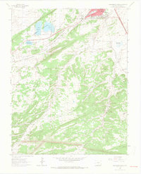
1963 · Walsenburg South
USGS Topo · 1:24,000
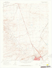
1963 · Walsenburg North
USGS Topo · 1:24,000