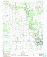
1984 Map of Marianna
USGS Topo · Published 1993About this map
The Marianna townsite dominates the southeastern quadrant of this Delta landscape, situated where the high ground meets the bottomlands of the L' Anguille River. Captured in the mid-1980s, the map reveals a meticulously gridded agricultural region defined by drainage networks like Larkin Creek and Big Cypress Creek, which feed the river’s serpentine path.
Find a feature on this map
16 named features on this map. Tap any name to fly to it.
Don’t see what you’re looking for? This feature index may not catch every label — zoom into the map to look around manually.
Map Details
Editions of this 1984 Marianna Map
2 editions found
Other maps of this area

1939 · Park Place
USGS Topo · 1:62,500

1939 · Latour
USGS Topo · 1:62,500

1940 · Marvell
USGS Topo · 1:62,500

1940 · Marianna
USGS Topo · 1:62,500

1948 · Helena
USGS Topo · 1:250,000

1950 · Helena
USGS Topo · 1:250,000

1955 · Park Place
USGS Topo · 1:62,500

1955 · Latour
USGS Topo · 1:62,500

1955 · Helena
USGS Topo · 1:250,000

1956 · Marvell
USGS Topo · 1:62,500