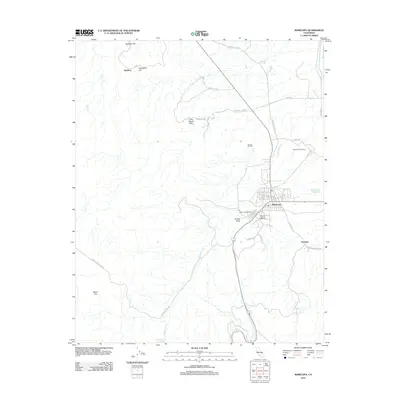
2012 Map of Maricopa
USGS Topo · Published 2012About this map
The Sunset Oil Field dominates this 2012 study of the southern San Joaquin Valley, reflecting the region's long-standing petroleum industrial landscape. The settlement of Maricopa sits at the junction of several specialized thoroughfares, including Petroleum Club Rd and Tannehill Lease Rd, while the Norwalk Oil Refinery and Maricopa Airport serve as central landmarks. To the east, the map identifies the location of Hazelton, situated near the drainage of Bitterwater Cr. The terrain is defined by a series of prominent rises such as Spellacy Hill, Twentyfive Hill, and the Little Signal Hills. To the south and west, the landscape transitions into the broader expanse of Sunset Valley and Beam Flat, where Bitterwater Spring provides a rare water source in this arid environment.
Find a feature on this map
39 named features on this map. Tap any name to fly to it.
Don’t see what you’re looking for? This feature index may not catch every label — zoom into the map to look around manually.
Map Details
Editions of this 2012 Maricopa Map
This is the sole edition of this map. No revisions or reprints were ever made.
Other maps of this area

1902 · Santa Ynez
USGS Topo · 1:125,000

1903 · Mt. Pinos
USGS Topo · 1:125,000

1905 · Santa Ynez
USGS Topo · 1:125,000

1910 · Buena Vista Lake
USGS Topo · 1:125,000

1912 · McKittrick
USGS Topo · 1:125,000

1912 · Buena Vista Lake
USGS Topo · 1:125,000

1929 · Mouth of Kern
USGS Topo · 1:31,680

1931 · Pentland Junction
USGS Topo · 1:31,680

1932 · Mouth of Kern
USGS Topo · 1:31,680

1934 · Pentland
USGS Topo · 1:31,680