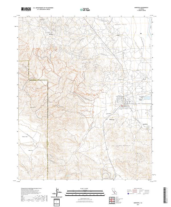
2021 Map of Maricopa
USGS Topo · Published 2021About this map
Maricopa serves as a central hub in this Southern California landscape where the San Joaquin Valley meets the rising elevations of the Temblor Range and San Emigdio Mountains. The map reveals a high concentration of energy and infrastructure developments, evidenced by named thoroughfares like Petroleum Club Rd, Stannehill Lease Rd, and Western Minerals Rd. These routes crisscross the terrain near Spellacy and Twentyfive Hill, indicating a history shaped by resource extraction and industrial activity.
Find a feature on this map
53 named features on this map. Tap any name to fly to it.
Don’t see what you’re looking for? This feature index may not catch every label — zoom into the map to look around manually.
Map Details
Editions of this 2021 Maricopa Map
This is the sole edition of this map. No revisions or reprints were ever made.
Other maps of this area

1902 · Santa Ynez
USGS Topo · 1:125,000

1903 · Mt. Pinos
USGS Topo · 1:125,000

1905 · Santa Ynez
USGS Topo · 1:125,000

1910 · Buena Vista Lake
USGS Topo · 1:125,000

1912 · McKittrick
USGS Topo · 1:125,000

1912 · Buena Vista Lake
USGS Topo · 1:125,000

1929 · Mouth of Kern
USGS Topo · 1:31,680

1931 · Pentland Junction
USGS Topo · 1:31,680

1932 · Mouth of Kern
USGS Topo · 1:31,680

1934 · Pentland
USGS Topo · 1:31,680